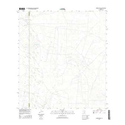
2016 Map of Andrea Ranch
USGS Topo · Published 2016About this map
The vast ranching country of the South Texas brushlands is captured in this 2016 survey, where the sparse landscape is defined by large landholdings and isolated water features. Andrea Ranch sits as a primary landmark in this cattle country, connected to the wider region by a network of local roads and unimproved trails that traverse the flat terrain. The arid environment is punctuated by Los Cayos de la Mula, a named water feature that suggests the vital importance of natural catchments in this portion of the Rio Grande Valley hinterlands. Positioned along the jurisdictional line of Hidalgo Co and Kenedy Co, the map documents the modern footprint of traditional Texas ranching heritage, showing the sparse distribution of human structures and the intricate web of fence lines and ranch tracks that manage this expansive territory.
Find a feature on this map
3 named features on this map. Tap any name to fly to it.
Don’t see what you’re looking for? This feature index may not catch every label — zoom into the map to look around manually.
Map Details
Editions of this 2016 Andrea Ranch Map
This is the sole edition of this map. No revisions or reprints were ever made.
Other maps of this area

1922 · La Sal Vieja
USGS Topo · 1:62,500

1923 · Armstrong
USGS Topo · 1:62,500

1939 · Linn
USGS Topo · 1:62,500

1949 · Mc Allen
USGS Topo · 1:250,000

1953 · Brownsville
USGS Topo · 1:250,000

1954 · McAllen
USGS Topo · 1:250,000

1956 · Julian
USGS Topo · 1:24,000

1956 · Rudolph
USGS Topo · 1:24,000

1956 · Andrea Ranch
USGS Topo · 1:24,000

1956 · La Sal Vieja
USGS Topo · 1:24,000