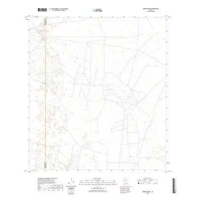
2019 Map of Andrea Ranch
USGS Topo · Published 2019About this map
Andrea Ranch sits at the northwestern corner of this South Texas landscape, marking a solitary point of habitation in a region characterized by its remote ranchland character. The terrain is defined by the boundary between Hidalgo County and Kenedy County, where the survey reveals a complex network of ephemeral water features and unpaved roads. This 2019 survey documents the modern ranching infrastructure and hydrological patterns of the deep brush country, showing how water-dependent features and property boundaries continue to shape the geographic footprint of this sparsely populated part of the Rio Grande Valley hinterlands.
Find a feature on this map
2 named features on this map. Tap any name to fly to it.
Don’t see what you’re looking for? This feature index may not catch every label — zoom into the map to look around manually.
Map Details
Editions of this 2019 Andrea Ranch Map
This is the sole edition of this map. No revisions or reprints were ever made.
Other maps of this area

1922 · La Sal Vieja
USGS Topo · 1:62,500

1923 · Armstrong
USGS Topo · 1:62,500

1939 · Linn
USGS Topo · 1:62,500

1949 · Mc Allen
USGS Topo · 1:250,000

1953 · Brownsville
USGS Topo · 1:250,000

1954 · McAllen
USGS Topo · 1:250,000

1956 · Julian
USGS Topo · 1:24,000

1956 · Rudolph
USGS Topo · 1:24,000

1956 · Andrea Ranch
USGS Topo · 1:24,000

1956 · La Sal Vieja
USGS Topo · 1:24,000