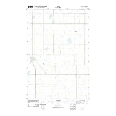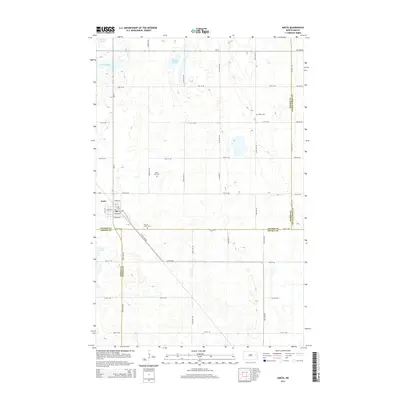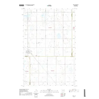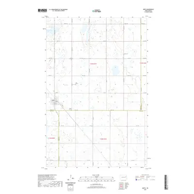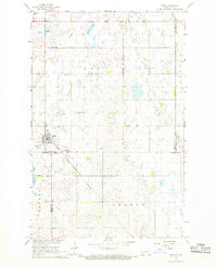
1967 Map of Aneta
USGS Topo · Published 1969About this map
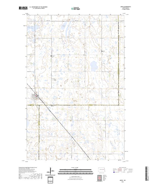
The prairie town of Aneta serves as the focal point of this North Dakota landscape, situated at the junction of several county lines including Nelson, Griggs, and Steele. The Great Northern railroad cuts a diagonal path through the southwestern portion of the sheet, reflecting the vital role of rail transport for rural agricultural hubs in the late 1960s. The region is characterized by numerous prairie potholes and wetlands, such as Matson Slough, Solberg Slough, and Hillesland Lake.
Find a feature on this map
23 named features on this map. Tap any name to fly to it.
Don’t see what you’re looking for? This feature index may not catch every label — zoom into the map to look around manually.
Map Details
Editions of this 1967 Aneta Map
This is the sole edition of this map. No revisions or reprints were ever made.
Historical Maps of Aneta Through Time
6 maps found