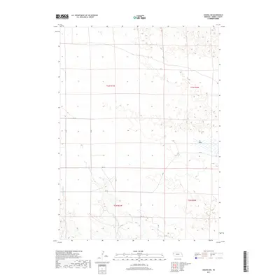
2017 Map of Angora NW
USGS Topo · Published 2017About this map
Hay Valley occupies the eastern portion of this Nebraska landscape, where the topography is defined by the ephemeral drainage patterns of the High Plains. The drainage of Red Willow Cr and W Water Cr carves through the terrain, illustrating the hydrologic network of Morrill County before it meets larger tributaries. The area is organized by a strict rectilinear grid of county roads, including Rd 89 and Rd 128, which follow the section lines of the Public Land Survey System. This network of rural routes serves as the primary infrastructure for the dispersed ranching or agricultural operations indicated by the township and range divisions of t23n r51w and t22n r50w. The map provides a clear look at the sparsely settled geography of the Panhandle, where water sources and road access dictate the pattern of human presence.
Find a feature on this map
17 named features on this map. Tap any name to fly to it.
Don’t see what you’re looking for? This feature index may not catch every label — zoom into the map to look around manually.
Map Details
Editions of this 2017 Angora NW Map
This is the sole edition of this map. No revisions or reprints were ever made.
Other maps of this area

1898 · Camp Clarke
USGS Topo · 1:125,000

1948 · Hemingford 4 SW
USGS Topo · 1:24,000

1948 · Hemingford 4 SE
USGS Topo · 1:24,000

1951 · Kilpatrick Lake
USGS Topo · 1:62,500

1954 · Scottsbluff
USGS Topo · 1:250,000

1955 · Alliance
USGS Topo · 1:250,000

1957 · Alliance
USGS Topo · 1:250,000

1958 · Alliance
USGS Topo · 1:250,000

1958 · Scottsbluff
USGS Topo · 1:250,000

1965 · Bayard
USGS Topo · 1:24,000