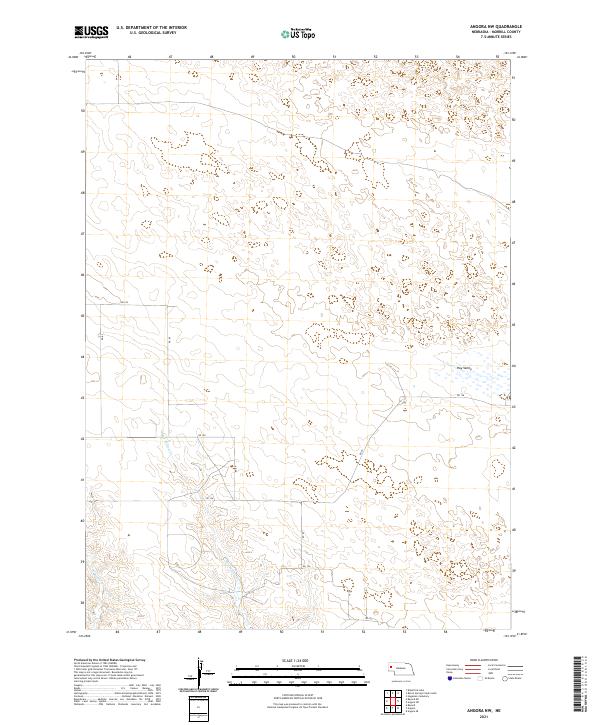
2021 Map of Angora NW
USGS Topo · Published 2021About this map
Hay Valley dominates the eastern half of this Morrill County landscape, a broad low-lying basin where groundwater and surface drainage patterns define the agricultural potential of the Nebraska Panhandle. The hydrology of the region is traced by the winding courses of Red Willow Cr and W Water Cr, which carve through the high plains terrain. This 2021 survey reveals a structured grid of rural infrastructure, including RD 128 and RD 89, highlighting how modern transportation follows the legal land descriptions of the Public Land Survey System.
Find a feature on this map
18 named features on this map. Tap any name to fly to it.
Don’t see what you’re looking for? This feature index may not catch every label — zoom into the map to look around manually.
Map Details
Editions of this 2021 Angora NW Map
This is the sole edition of this map. No revisions or reprints were ever made.
Other maps of this area

1898 · Camp Clarke
USGS Topo · 1:125,000

1948 · Hemingford 4 SW
USGS Topo · 1:24,000

1948 · Hemingford 4 SE
USGS Topo · 1:24,000

1951 · Kilpatrick Lake
USGS Topo · 1:62,500

1954 · Scottsbluff
USGS Topo · 1:250,000

1955 · Alliance
USGS Topo · 1:250,000

1957 · Alliance
USGS Topo · 1:250,000

1958 · Alliance
USGS Topo · 1:250,000

1958 · Scottsbluff
USGS Topo · 1:250,000

1965 · Bayard
USGS Topo · 1:24,000