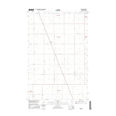
2016 Map of Angus
USGS Topo · Published 2016About this map
The settlement of Angus sits at the heart of this Polk County landscape, which is defined by a rigorous grid of section lines and agricultural roads. Situated in the Red River Valley region, the terrain is remarkably level, carved into townships including t153n r47w and t152n r47w. This 2016 survey illustrates a highly organized rural infrastructure where county highways such as Co Hwy 23 and Co Hwy 67 intersect with a dense network of numbered avenues and streets.
Find a feature on this map
31 named features on this map. Tap any name to fly to it.
Don’t see what you’re looking for? This feature index may not catch every label — zoom into the map to look around manually.
Map Details
Editions of this 2016 Angus Map
This is the sole edition of this map. No revisions or reprints were ever made.
Other maps of this area

1918 · Angus
USGS Topo · 1:62,500

1918 · Warren
USGS Topo · 1:62,500

1952 · Grand Forks
USGS Topo · 1:250,000

1952 · Thief River Falls
USGS Topo · 1:250,000

1953 · Crookston
USGS Topo · 1:62,500

1955 · Warren
USGS Topo · 1:62,500

1956 · Thief River Falls
USGS Topo · 1:250,000

1956 · Grand Forks
USGS Topo · 1:250,000

1957 · Thief River Falls
USGS Topo · 1:250,000

1961 · Radium
USGS Topo · 1:24,000