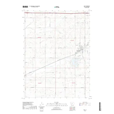
2018 Map of Anita
USGS Topo · Published 2018About this map
Anita serves as the central hub of this Cass County landscape, where the local street grid transitions into a vast network of rural roads and watercourses. The town is flanked by historic burial grounds including Evergreen Cem and Highland Cem, while the Anita Municipal Airport-Kevin Burke Memorial Field marks the eastern edge of the community. The topography is defined by the drainage patterns of Troublesome Cr, Crooked Cr, and Turkey Cr, which wind through the township sections toward the waters of Lake Anita.
Find a feature on this map
30 named features on this map. Tap any name to fly to it.
Don’t see what you’re looking for? This feature index may not catch every label — zoom into the map to look around manually.
Map Details
Editions of this 2018 Anita Map
This is the sole edition of this map. No revisions or reprints were ever made.
Other maps of this area

1954 · Omaha
USGS Topo · 1:250,000

1957 · Omaha
USGS Topo · 1:250,000

1957 · Audubon
USGS Topo · 1:62,500

1958 · Omaha
USGS Topo · 1:250,000

1971 · Adair South
USGS Topo · 1:24,000

1971 · Anita
USGS Topo · 1:24,000

1971 · Wiota
USGS Topo · 1:24,000

1971 · Anita SW
USGS Topo · 1:24,000

1971 · Massena
USGS Topo · 1:24,000

1971 · Fontanelle SW
USGS Topo · 1:24,000