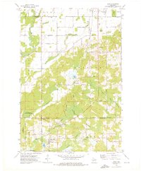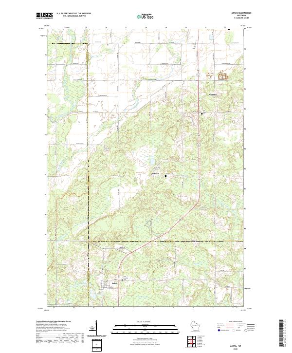
2022 Map of Aniwa
USGS Topo · Published 2022About this map
The village of Aniwa and the settlement of Elmhurst anchor this portion of the Wisconsin landscape where Marathon, Langlade, and Shawano counties converge. The terrain is defined by a dense network of wetlands and water bodies, most notably the Mattoon Swamp and a cluster of basins including Bear Lake, Spring Lake, and Pleasant Lake. Transport and recreation are represented by the Ice Age National Scenic Trl winding through the western sections, while the local hydrology is dominated by the Eau Claire River and the Middle Br Embarrass River. For those tracing local heritage, the map identifies several significant burial sites, including the Hall Pioneer Cem, Elmhurst Cem, and Saint Boniface Cem near Aniwa. The section lines and modern road grid, including Co HWY G and Co HWY HH, overlay a landscape that maintains its rural character and extensive natural drainage patterns.
Find a feature on this map
54 named features on this map. Tap any name to fly to it.
Don’t see what you’re looking for? This feature index may not catch every label — zoom into the map to look around manually.
Map Details
Editions of this 2022 Aniwa Map
This is the sole edition of this map. No revisions or reprints were ever made.