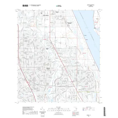
2021 Map of Ankona
USGS Topo · Published 2021About this map
The Indian River Lagoon and the North Fork Saint Lucie River define the intricate waterways of this coastal region, where suburban expansion meets protected wetlands. Established communities like Ankona and Eldred sit along the western shore of the lagoon, while the Florida East Coast Railway runs parallel to the coast, marking the historical corridor of development.
Find a feature on this map
422 named features on this map. Tap any name to fly to it.
Don’t see what you’re looking for? This feature index may not catch every label — zoom into the map to look around manually.
Map Details
Editions of this 2021 Ankona Map
This is the sole edition of this map. No revisions or reprints were ever made.
Other maps of this area

1948 · Palm City
USGS Topo · 1:24,000

1948 · Ankona
USGS Topo · 1:24,000

1948 · St. Lucie Inlet
USGS Topo · 1:24,000

1948 · Eden
USGS Topo · 1:24,000

1949 · Fort Pierce
USGS Topo · 1:24,000

1949 · Fort Pierce NW
USGS Topo · 1:24,000

1950 · St. Lucie Inlet
USGS Topo · 1:24,000

1950 · Ankona
USGS Topo · 1:24,000

1950 · Fort Pierce
USGS Topo · 1:24,000

1950 · Palm City
USGS Topo · 1:24,000