
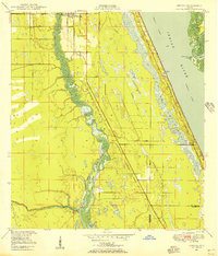
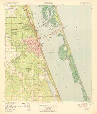
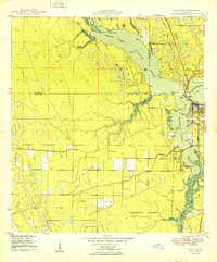
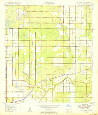
1950 Map of Ankona
USGS Topo · Published 1950About this map
White City and the coastal settlements of Ankona and Walton anchor this mid-century portrait of Florida's Atlantic coast. The landscape is defined by the parallel paths of the Indian River and the North Fork St Lucie River, with the Florida East Coast railway providing a critical north-south artery through the wetlands and citrus groves. This survey was compiled shortly after the war, using 1946 aerial photography to capture a transition period before modern coastal development accelerated.
Find a feature on this map
16 named features on this map. Tap any name to fly to it.
Don’t see what you’re looking for? This feature index may not catch every label — zoom into the map to look around manually.
Map Details
Editions of this 1950 Ankona Map
This is the sole edition of this map. No revisions or reprints were ever made.
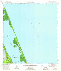
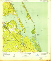
Other maps of this area

1948 · Palm City
USGS Topo · 1:24,000
1948 · Ankona
USGS Topo · 1:24,000

1948 · St. Lucie Inlet
USGS Topo · 1:24,000
1948 · Eden
USGS Topo · 1:24,000
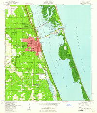
1949 · Fort Pierce
USGS Topo · 1:24,000

1949 · Fort Pierce NW
USGS Topo · 1:24,000
1950 · St. Lucie Inlet
USGS Topo · 1:24,000
1950 · Fort Pierce
USGS Topo · 1:24,000
1950 · Palm City
USGS Topo · 1:24,000
1950 · Fort Pierce NW
USGS Topo · 1:24,000