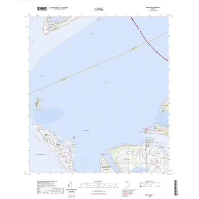
2024 Map of Anna Maria
USGS Topo · Published 2024About this map
Anna Maria and Holmes Beach anchor the northern end of Anna Maria Island, where a dense network of residential streets like Jacaranda RD and Flotilla DR meet the white sands of the Gulf Of Mexico. This coastal landscape is defined by its complex waterways, from the Intracoastal Waterway and Anna Maria Sound to the open reach of Tampa Bay. To the north, the protected environments of the Passage Key National Wildlife Refuge and Fort De Soto mark the entrance to the bay, separated by the deep Egmont Channel.
Find a feature on this map
94 named features on this map. Tap any name to fly to it.
Don’t see what you’re looking for? This feature index may not catch every label — zoom into the map to look around manually.
Map Details
Editions of this 2024 Anna Maria Map
This is the sole edition of this map. No revisions or reprints were ever made.
Other maps of this area

1921 · Fort De Soto
USGS Topo · 1:62,500

1942 · Cockroach Bay
USGS Topo · 1:31,680

1943 · Pass-A-Grille
USGS Topo · 1:31,680

1944 · Egmont Key
USGS Topo · 1:31,680

1944 · Anna Maria
USGS Topo · 1:31,680

1944 · Ellenton
USGS Topo · 1:31,680

1944 · Bradenton Beach
USGS Topo · 1:31,680

1945 · Cockroach Bay
USGS Topo · 1:31,680
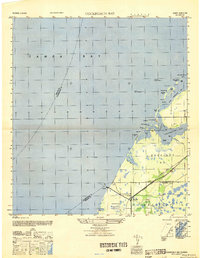
1947 · Cockroach Bay
USGS Topo · 1:25,000

1947 · Bradenton
USGS Topo · 1:24,000