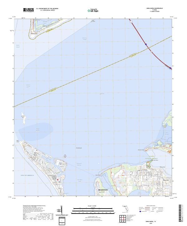
2025 Map of Anna Maria
USGS Topo · Published 2025About this map
The coastal gateway of Tampa Bay is defined by a complex network of keys, islands, and historical landmarks. At the mouth of the bay, Fort De Soto and the surrounding Mullet Key stand as sentinels near the Egmont Channel, while to the south, the barrier island communities of Anna Maria and Holmes Beach face the Gulf of America. This coastal geography is intersected by the Intracoastal Waterway, which separates the barrier islands from the mainland settlements of Bradenton and Palma Sola. The map highlights important conservation and heritage sites, such as the De Soto National Memorial at De Soto Point and the Robinson Preserve Trl. Between these points, a variety of bays and sounds, including Anna Maria Sound and Palma Sola Bay, illustrate the intricate estuarine environment that has shaped the region's development from maritime defense to modern recreation.
Find a feature on this map
101 named features on this map. Tap any name to fly to it.
Don’t see what you’re looking for? This feature index may not catch every label — zoom into the map to look around manually.
Map Details
Editions of this 2025 Anna Maria Map
This is the sole edition of this map. No revisions or reprints were ever made.
Other maps of this area

1921 · Fort De Soto
USGS Topo · 1:62,500

1942 · Cockroach Bay
USGS Topo · 1:31,680

1943 · Pass-A-Grille
USGS Topo · 1:31,680

1944 · Egmont Key
USGS Topo · 1:31,680

1944 · Anna Maria
USGS Topo · 1:31,680

1944 · Ellenton
USGS Topo · 1:31,680

1944 · Bradenton Beach
USGS Topo · 1:31,680

1945 · Cockroach Bay
USGS Topo · 1:31,680
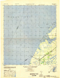
1947 · Cockroach Bay
USGS Topo · 1:25,000

1947 · Bradenton
USGS Topo · 1:24,000