Loading...
Loading map...1944 Map of Anna Maria
USGS Topo · Published 1961About this map
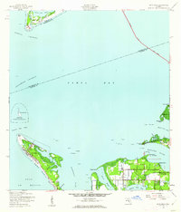
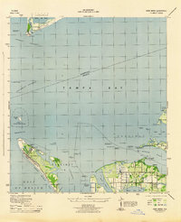
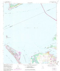
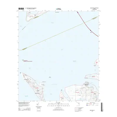
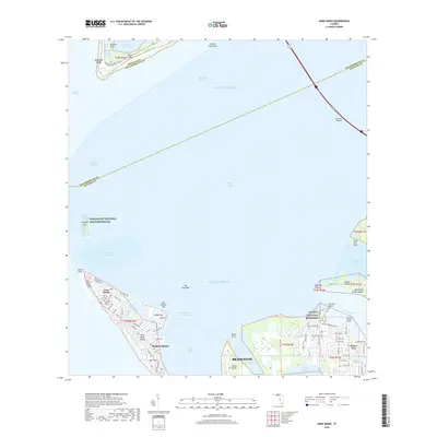
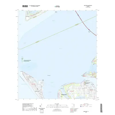
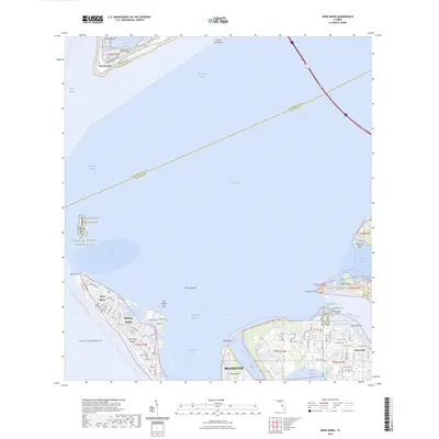
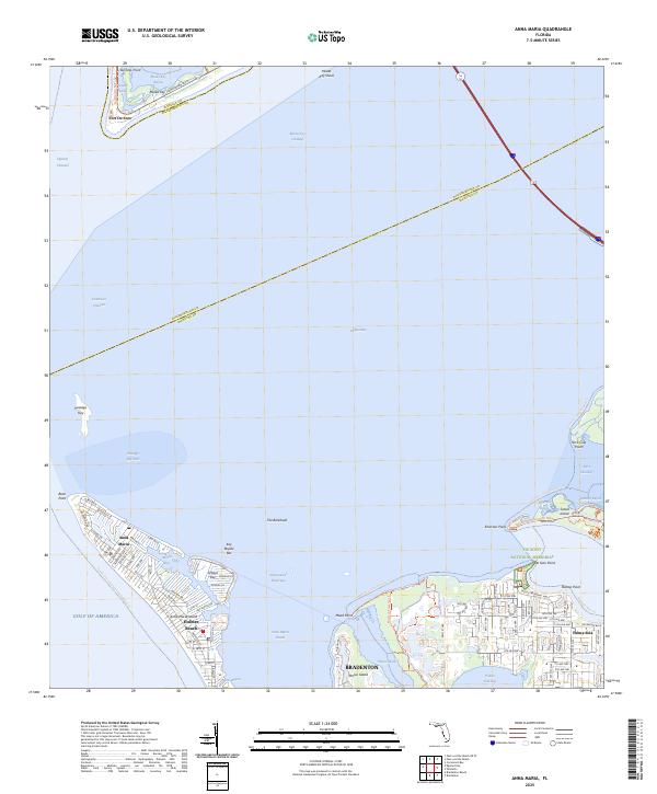
Anna Maria Key serves as the focal point of this coastal survey, shielding the mainland from the Gulf of Mexico. During the mid-1940s, the settlement of Anna Maria is concentrated at the northern tip of the island near Bean Point, while the interior remains largely undeveloped. On the mainland, the community of Palma Sola is defined by a rigid grid of roads stretching toward Warner Bayou and the mouth of the Manatee River.
Find a feature on this map
38 named features on this map. Tap any name to fly to it.
Don’t see what you’re looking for? This feature index may not catch every label — zoom into the map to look around manually.
Map Details
Date Portrayed1944
Date Published1961
PublisherU.S. Geological Survey
Map TypeTopographic
Scale1:24,000
Physical Dimensions22.9 x 26.8 inches
Editions of this 1944 Anna Maria Map
2 editions found
Historical Maps of Bradenton Through Time
8 maps found
Featured Locations
Source Details
SourceU.S. Geological Survey
CopyrightPublic Domain