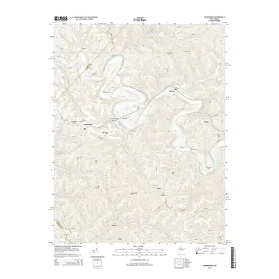
2014 Map of Annamoriah
USGS Topo · Published 2014About this map
The Little Kanawha River carves a winding path through the borderlands of Wirt and Calhoun Counties, defining the social and physical geography of this West Virginia landscape. The river’s deep oxbows frame small settlements like Bigbend and Annamoriah, where the Annamoriah Bridge provides a vital crossing point. The terrain is marked by prominent high points such as Rattlesnake Knob and Palsor Knob, while the human history of the area is etched into the hillsides through numerous small family and community burial grounds, including Sixteen Ridge Cem and Maze Cem.
Find a feature on this map
89 named features on this map. Tap any name to fly to it.
Don’t see what you’re looking for? This feature index may not catch every label — zoom into the map to look around manually.
Map Details
Editions of this 2014 Annamoriah Map
This is the sole edition of this map. No revisions or reprints were ever made.
Other maps of this area

1906 · Elizabeth
USGS Topo · 1:62,500

1907 · Harrisville
USGS Topo · 1:62,500

1907 · Arnoldsburg
USGS Topo · 1:62,500

1907 · Spencer
USGS Topo · 1:62,500

1924 · Harrisville
USGS Topo · 1:62,500

1924 · Elizabeth
USGS Topo · 1:62,500

1925 · Arnoldsburg
USGS Topo · 1:62,500

1926 · Elizabeth
USGS Topo · 1:62,500

1926 · Harrisville
USGS Topo · 1:62,500

1927 · Arnoldsburg
USGS Topo · 1:62,500