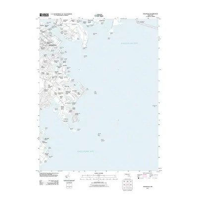
2011 Map of Annapolis
USGS Topo · Published 2011About this map
The United States Naval Academy dominates the northern waterfront where the Severn River meets the Chesapeake Bay. This coastal landscape reflects centuries of maritime history and institutional growth, featuring the historic Annapolis city center and its radiating street plan from Church Circle. The map detail shows a complex network of marinas and yacht clubs, including the Olde Towne Marina and Annapolis Landing Marina, interspersed with residential developments like Eastport and Highland Beach.
Find a feature on this map
155 named features on this map. Tap any name to fly to it.
Don’t see what you’re looking for? This feature index may not catch every label — zoom into the map to look around manually.
Map Details
Editions of this 2011 Annapolis Map
This is the sole edition of this map. No revisions or reprints were ever made.
Other maps of this area

1892 · Owensville
USGS Topo · 1:62,500

1892 · Annapolis
USGS Topo · 1:62,500

1893 · North Point
USGS Topo · 1:62,500

1894 · Relay
USGS Topo · 1:62,500

1895 · Owensville
USGS Topo · 1:62,500

1898 · Choptank
USGS Topo · 1:125,000

1898 · Tolchester
USGS Topo · 1:125,000

1899 · Patuxent
USGS Topo · 1:125,000

1903 · Tolchester
USGS Topo · 1:125,000

1904 · North Point
USGS Topo · 1:62,500