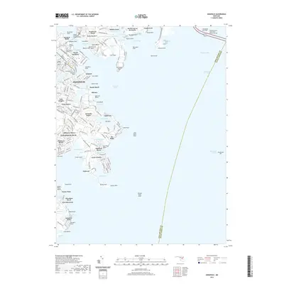
2019 Map of Annapolis
USGS Topo · Published 2019About this map
The United States Naval Academy dominates the waterfront landscape where the Severn River meets Chesapeake Bay. This 2019 survey captures the modern geography of Maryland's capital, showing a dense network of residential streets and historic cemeteries like Saint Annes Cem and Cedar Bluff Cem just west of the academy grounds. The map detail extends south along the Annapolis Neck, documenting specialized communities such as Highland Beach and Hillsmere Shores, alongside many inlets like Lake Ogleton and Duvall Creek. The eastern half of the sheet highlights the expansive waters of the Intracoastal Waterway and the critical navigation points surrounding Tolly Point and Greenbury Point. Significant local features including the Naval Academy Golf Course and numerous coves like Woolchurch Cove illustrate the deep connection between the city's land use and its maritime environment.
Find a feature on this map
195 named features on this map. Tap any name to fly to it.
Don’t see what you’re looking for? This feature index may not catch every label — zoom into the map to look around manually.
Map Details
Editions of this 2019 Annapolis Map
This is the sole edition of this map. No revisions or reprints were ever made.
Other maps of this area

1892 · Owensville
USGS Topo · 1:62,500

1892 · Annapolis
USGS Topo · 1:62,500

1893 · North Point
USGS Topo · 1:62,500

1894 · Relay
USGS Topo · 1:62,500

1895 · Owensville
USGS Topo · 1:62,500

1898 · Choptank
USGS Topo · 1:125,000

1898 · Tolchester
USGS Topo · 1:125,000

1899 · Patuxent
USGS Topo · 1:125,000

1903 · Tolchester
USGS Topo · 1:125,000

1904 · North Point
USGS Topo · 1:62,500