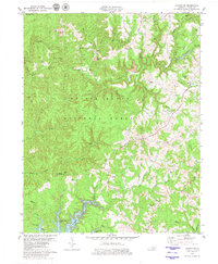
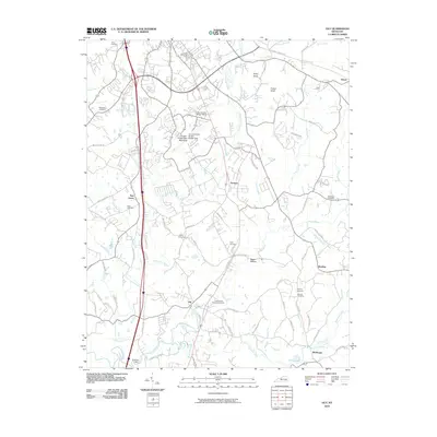
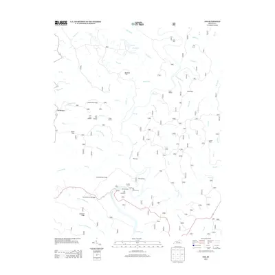
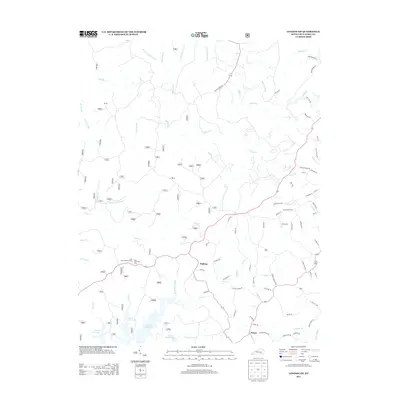
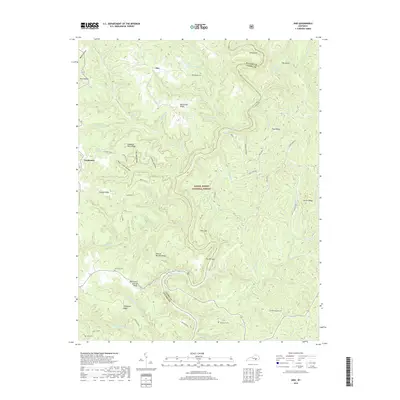
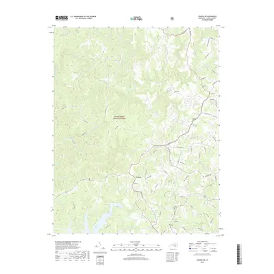
1979 Map of Ano
USGS Topo · Published 1987About this map
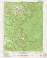
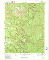
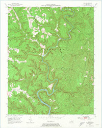
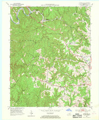
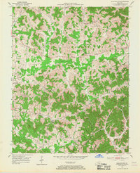
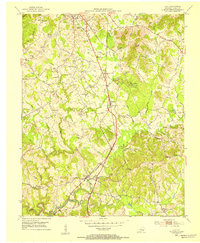
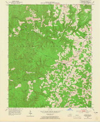
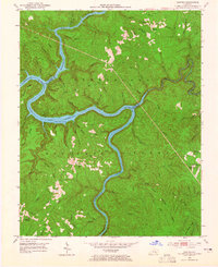
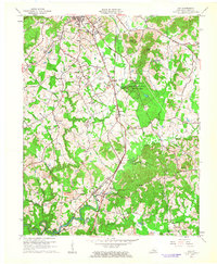
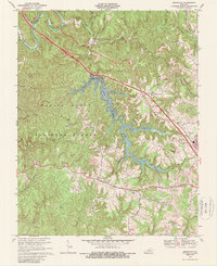
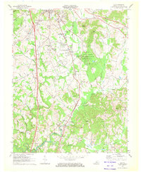
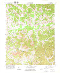
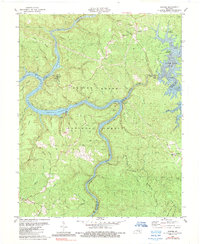
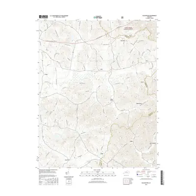
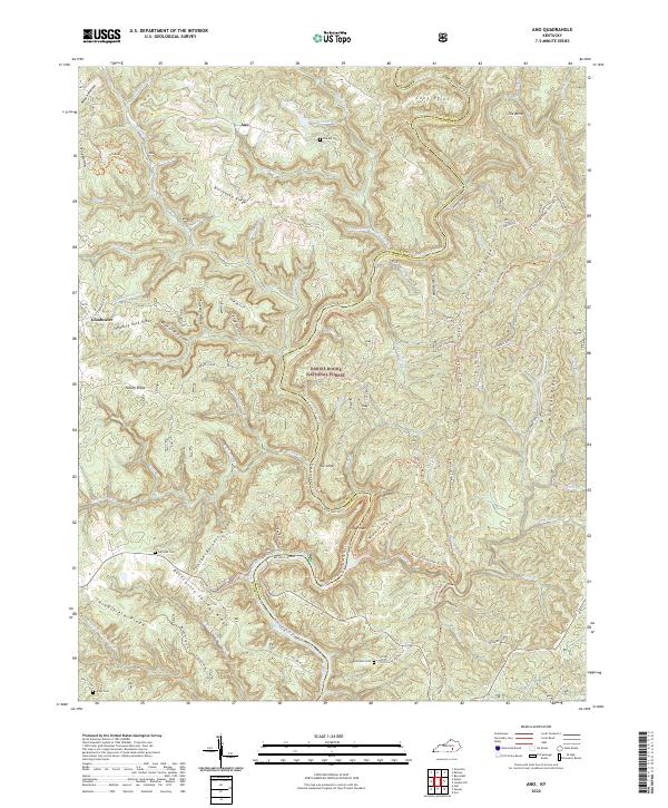
Daniel Boone National Forest encompasses the entirety of this landscape, where the deeply incised Rockcastle River snakes through the border of Pulaski and Laurel counties. The map captures a rugged geography defined by long ridges such as Bolthouse Ridge and Hindsfield Ridge, where small upland settlements like Ano and Goodwater maintain a quiet presence. The river itself is the focal point, featuring dramatic bends like The Loop and The Narrows, alongside the Bee Rock Recreation Area. A heavy industrial footprint is visible in the northern section, where extensive Strip Mines and several unidentified Mine symbols contrast with the forest's preservation. Local history is anchored by rural landmarks including Clifty Grove Ch and family burial sites such as Chaney Cem and Garson Cem.
Find a feature on this map
68 named features on this map. Tap any name to fly to it.
Don’t see what you’re looking for? This feature index may not catch every label — zoom into the map to look around manually.
Map Details
Editions of this 1979 Ano Map
2 editions found
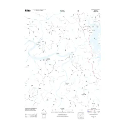
Historical Maps of Ano Through Time
43 maps found
1952 Ano
Laurel County, KY
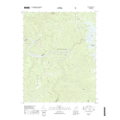
1952 Bernstadt
Laurel County, KY
1952 Blackwater
Laurel County, KY
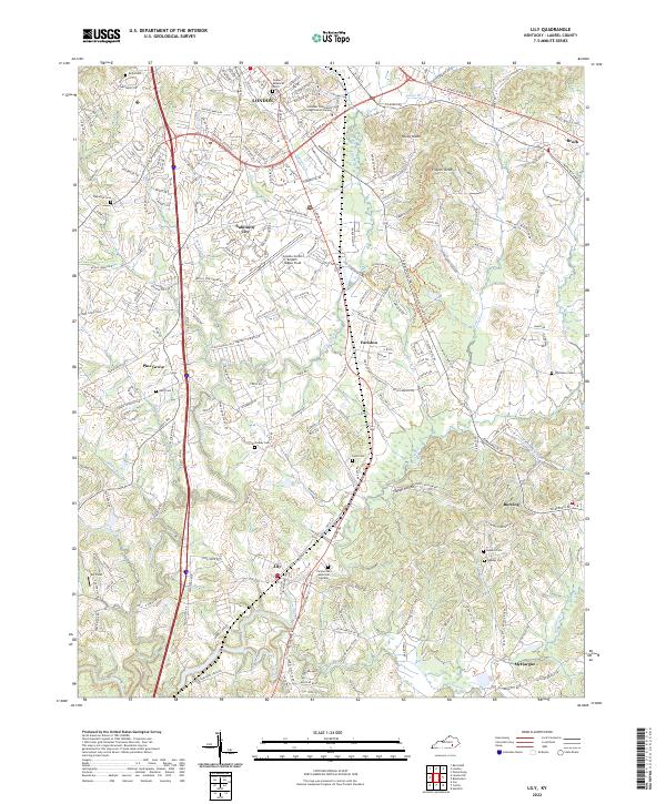
1952 Lily
Laurel County, KY
1952 London SW
Laurel County, KY
1952 Sawyer
Laurel County, KY
1961 Lily
Laurel County, KY
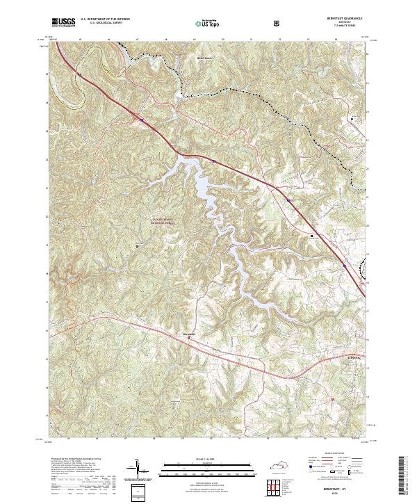
1969 Bernstadt
Laurel County, KY
1970 Lily
Laurel County, KY
1979 Ano
Laurel County, KY
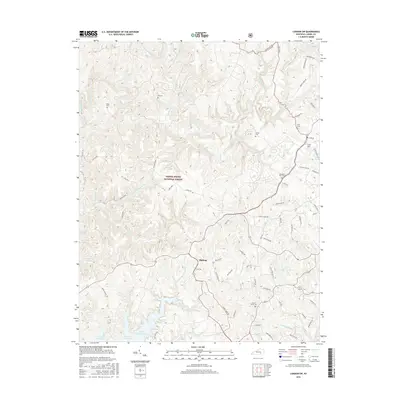
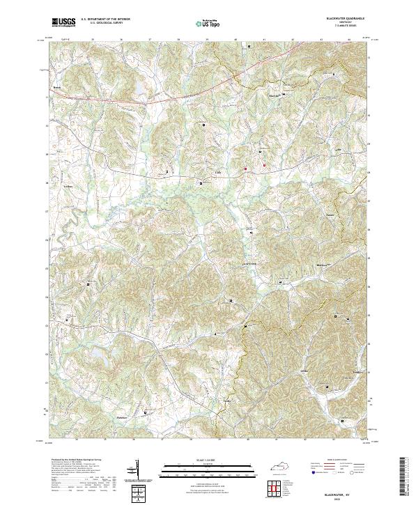
1979 Blackwater
Laurel County, KY
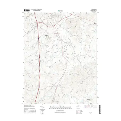
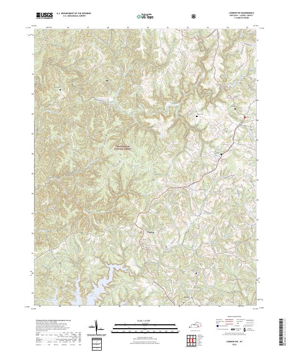
1979 London SW
Laurel County, KY
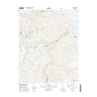
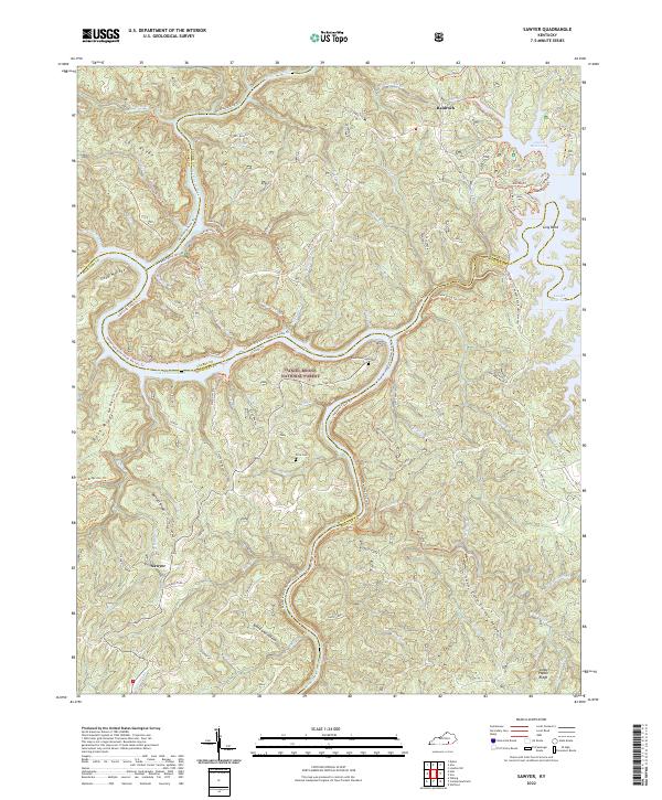
1980 Sawyer
Laurel County, KY
2010 Ano
Laurel County, KY
2010 Bernstadt
Laurel County, KY
2010 Lily
Laurel County, KY
2010 London SW
Laurel County, KY
2010 Sawyer
Laurel County, KY
2011 Blackwater
Laurel County, KY
2013 Ano
Laurel County, KY
2013 Bernstadt
Laurel County, KY
2013 Blackwater
Laurel County, KY
2013 Lily
Laurel County, KY
2013 London SW
Laurel County, KY
2013 Sawyer
Laurel County, KY
2016 Ano
Laurel County, KY
2016 Bernstadt
Laurel County, KY
2016 Blackwater
Laurel County, KY
2016 Lily
Laurel County, KY
2016 London SW
Laurel County, KY
2016 Sawyer
Laurel County, KY
2019 Ano
Laurel County, KY
2019 Bernstadt
Laurel County, KY
2019 Blackwater
Laurel County, KY
2019 Lily
Laurel County, KY
2019 London SW
Laurel County, KY
2019 Sawyer
Laurel County, KY
2022 Ano
Laurel County, KY
2022 Bernstadt
Laurel County, KY
2022 Blackwater
Laurel County, KY
2022 Lily
Laurel County, KY
2022 London SW
Laurel County, KY
2022 Sawyer
Laurel County, KY