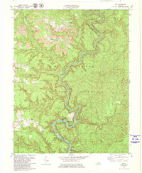
1979 Map of Ano
USGS Topo · Published 1980About this map
The Rockcastle River snakes through the heart of the Daniel Boone National Forest, carving a deep, winding path that defines the boundary between Pulaski and Laurel Counties. This late-1970s landscape is characterized by the coexistence of protected forest land and active resource extraction, as evidenced by several Strip Mines and a Strip Mine clustered near the small settlement of Ano. High ridges such as Bolthouse Ridge and South Stepping Rock Ridge overlook the steep hollows where creeks like Wildcat Br and Bingham Branch flow toward the river. Local history is anchored at the crossroads of Mt Victory and near the quiet Goodwater community, with family and local heritage preserved in sites like Chapley Cem, Garrison Cem, and Bald Rock Cem. Recreational landmarks like the Bee Rock Recreation Area and Bee Rock Overlook highlight the area's importance as a natural sanctuary even as the coal industry remained active nearby.
Find a feature on this map
69 named features on this map. Tap any name to fly to it.
Don’t see what you’re looking for? This feature index may not catch every label — zoom into the map to look around manually.
Map Details
Editions of this 1979 Ano Map
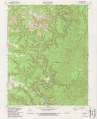
2 editions found
Other maps of this area

1890 · Williamsburg
USGS Topo · 1:125,000

1893 · London
USGS Topo · 1:125,000

1894 · Williamsburg
USGS Topo · 1:125,000

1897 · London
USGS Topo · 1:125,000

1952 · Hail
USGS Topo · 1:24,000

1952 · London SW
USGS Topo · 1:24,000

1952 · Vox
USGS Topo · 1:24,000

1952 · Billows
USGS Topo · 1:24,000

1952 · Ano
USGS Topo · 1:24,000

1952 · Dykes
USGS Topo · 1:24,000