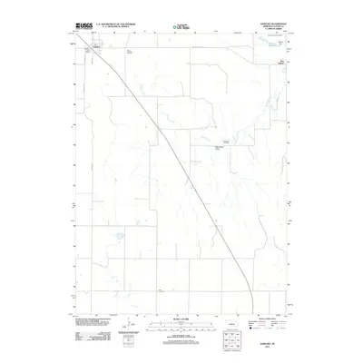
2011 Map of Anselmo
USGS Topo · Published 2011About this map
Anselmo serves as the primary hub in this Nebraska landscape, characterized by a grid of rural roads and the drainage of Victoria Creek. The settlement pattern is defined by its scattered memorial sites and water management infrastructure, including the Sargent Reservoir and Sargent Dam in the northeastern corner. This 2011 survey reveals a community deeply rooted in its local geography, where named locations like New Hope Valley provide context to the surrounding terrain.
Find a feature on this map
16 named features on this map. Tap any name to fly to it.
Don’t see what you’re looking for? This feature index may not catch every label — zoom into the map to look around manually.
Map Details
Editions of this 2011 Anselmo Map
This is the sole edition of this map. No revisions or reprints were ever made.
Other maps of this area

1951 · Lillian
USGS Topo · 1:24,000

1951 · Callaway NW
USGS Topo · 1:24,000

1951 · Anselmo
USGS Topo · 1:24,000

1951 · Broken Bow
USGS Topo · 1:24,000

1951 · Merna
USGS Topo · 1:24,000

1951 · Anselmo SW
USGS Topo · 1:24,000

1951 · Anselmo NE
USGS Topo · 1:24,000

1951 · Anselmo NW
USGS Topo · 1:24,000

1951 · Milburn
USGS Topo · 1:24,000

1955 · Broken Bow
USGS Topo · 1:250,000