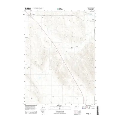
2014 Map of Anselmo
USGS Topo · Published 2014About this map
Anselmo anchors the northwest corner of this Custer County landscape, where the high plains meet a series of distinct geographic depressions. The terrain is defined by a sequence of valleys, including Dale Valley, Ortello Valley, and New Hope Valley, which create a complex drainage pattern feeding into Victoria Cr. This watercourse eventually reaches the Sargent Reservoir near the settlement of New Helena. This 2014 survey reveals a deeply rooted rural infrastructure, evidenced by the high density of memorial sites such as Saint Anselms Cem and Victoria Springs Cem distributed across the township lines. The transition from the rugged slopes of Cedar Canyon to the cultivated valley floors illustrates the enduring agricultural character of the Nebraska sandhills region during the early 21st century.
Find a feature on this map
20 named features on this map. Tap any name to fly to it.
Don’t see what you’re looking for? This feature index may not catch every label — zoom into the map to look around manually.
Map Details
Editions of this 2014 Anselmo Map
This is the sole edition of this map. No revisions or reprints were ever made.
Other maps of this area

1951 · Lillian
USGS Topo · 1:24,000

1951 · Callaway NW
USGS Topo · 1:24,000

1951 · Anselmo
USGS Topo · 1:24,000

1951 · Broken Bow
USGS Topo · 1:24,000

1951 · Merna
USGS Topo · 1:24,000

1951 · Anselmo SW
USGS Topo · 1:24,000

1951 · Anselmo NE
USGS Topo · 1:24,000

1951 · Anselmo NW
USGS Topo · 1:24,000

1951 · Milburn
USGS Topo · 1:24,000

1955 · Broken Bow
USGS Topo · 1:250,000