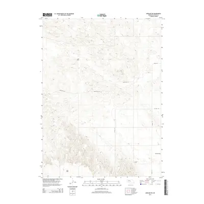
2014 Map of Anselmo SW
USGS Topo · Published 2014About this map
Ortello Valley characterizes the southeast corner of this Custer County landscape, where the isolated Ortello Cem remains a localized point of interest for researchers and genealogists. The terrain is defined by the broad expanse of Sand Valley and the elevated plateau of West Table, illustrating the topographic diversity of the Nebraska interior. Transport across the region is facilitated by a network of local thoroughfares including Anselmo Rd, Eureka Valley Rd, and Min Main Rd, which trace the section lines and natural contours of the land. This survey provides a clear view of the rural infrastructure and land use patterns as they existed in the early 21st century, focusing on the interface between flat tablelands and rolling valley systems.
Find a feature on this map
7 named features on this map. Tap any name to fly to it.
Don’t see what you’re looking for? This feature index may not catch every label — zoom into the map to look around manually.
Map Details
Editions of this 2014 Anselmo SW Map
This is the sole edition of this map. No revisions or reprints were ever made.
Other maps of this area

1948 · Linscott
USGS Topo · 1:62,500

1950 · Linscott
USGS Topo · 1:62,500

1951 · Callaway NW
USGS Topo · 1:24,000

1951 · Anselmo
USGS Topo · 1:24,000

1951 · Merna
USGS Topo · 1:24,000

1951 · Anselmo SW
USGS Topo · 1:24,000

1951 · Anselmo NE
USGS Topo · 1:24,000

1951 · Anselmo NW
USGS Topo · 1:24,000

1954 · North Platte
USGS Topo · 1:250,000

1955 · Broken Bow
USGS Topo · 1:250,000