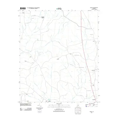
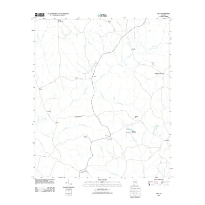
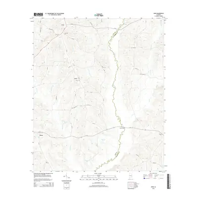
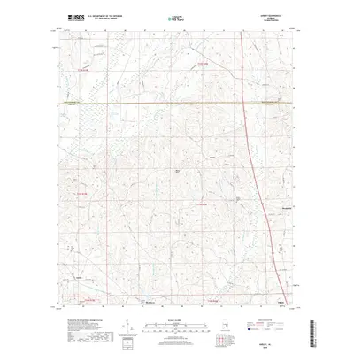
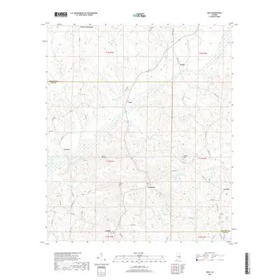
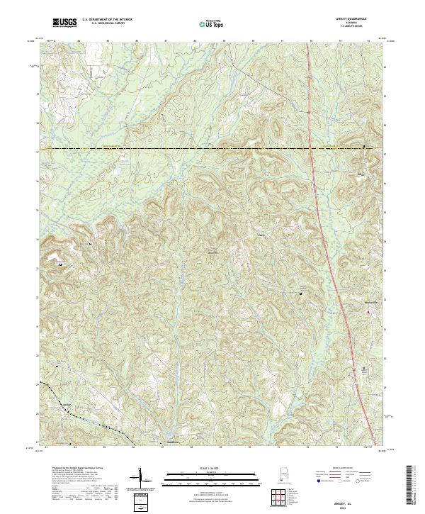
1968 Map of Ansley
USGS Topo · Published 1981About this map
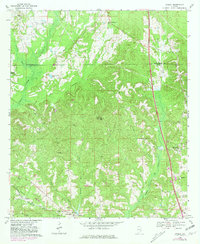
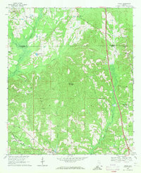
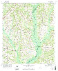
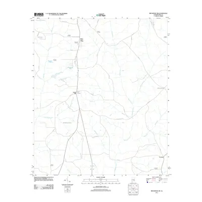
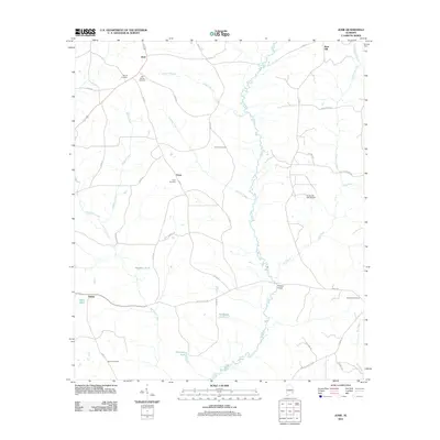
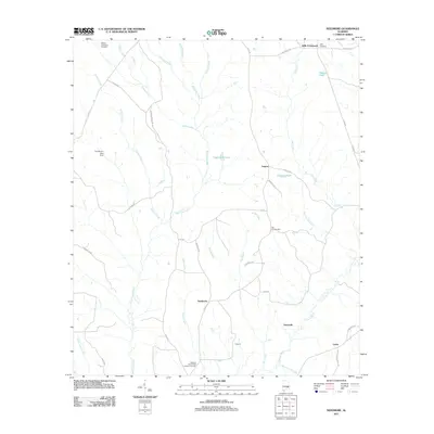
Patsaliga Creek and its many tributaries, including Jackson Creek, Olustee Creek, and Boyds Mill Creek, carve through the landscape along the border of Pike and Montgomery Counties. In the late 1960s, this area of rural Alabama remained defined by a dense network of country churches and small educational centers serving local families. Communities like Ansley and Shellhorn are clustered in the southern portion of the map, anchored by the Seaboard Coast Line railroad and institutions such as Ansley School and the Junior High School. To the east, the settlement of Orion and landmarks like Becks Mountain rise above the drainage of Beeman Creek. The map documents a snapshot of traditional Southern land use, where dozens of family-named cemeteries such as Sanders Cemetery and Belser Cemetery are interspersed with active rural hubs like Meeksville and the Harmony School.
Find a feature on this map
44 named features on this map. Tap any name to fly to it.
Don’t see what you’re looking for? This feature index may not catch every label — zoom into the map to look around manually.
Map Details
Editions of this 1968 Ansley Map
2 editions found
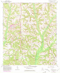
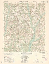
Historical Maps of Troy Through Time
37 maps found
1960 Brundidge NW
Pike County, AL
1962 Brundidge NW
Pike County, AL
1968 Ansley
Pike County, AL
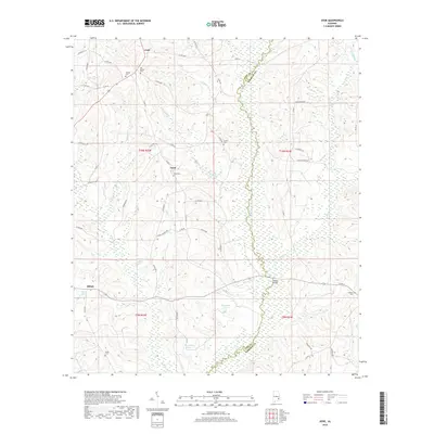
1968 Josie
Pike County, AL
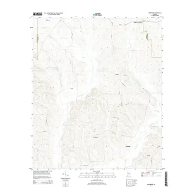
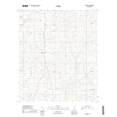
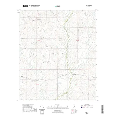
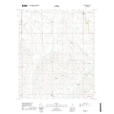
1968 Needmore
Pike County, AL
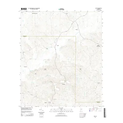
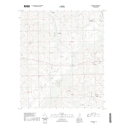
1968 Saco
Pike County, AL
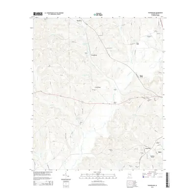
1968 Youngblood
Pike County, AL
2011 Ansley
Pike County, AL
2011 Brundidge NW
Pike County, AL
2011 Josie
Pike County, AL
2011 Needmore
Pike County, AL
2011 Saco
Pike County, AL
2011 Youngblood
Pike County, AL
2014 Ansley
Pike County, AL
2014 Brundidge NW
Pike County, AL
2014 Josie
Pike County, AL
2014 Needmore
Pike County, AL
2014 Saco
Pike County, AL
2014 Youngblood
Pike County, AL
2018 Ansley
Pike County, AL
2018 Brundidge NW
Pike County, AL
2018 Josie
Pike County, AL
2018 Needmore
Pike County, AL
2018 Saco
Pike County, AL
2018 Youngblood
Pike County, AL
2020 Ansley
Pike County, AL
2020 Brundidge NW
Pike County, AL
2020 Josie
Pike County, AL
2020 Needmore
Pike County, AL

2020 Saco
Pike County, AL
2020 Youngblood
Pike County, AL
2024 Ansley
Pike County, AL
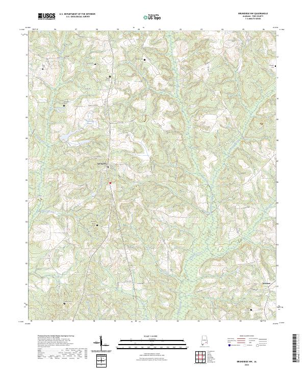
2024 Brundidge NW
Pike County, AL
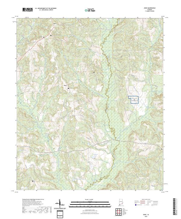
2024 Josie
Pike County, AL
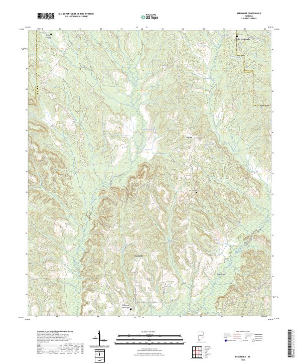
2024 Needmore
Pike County, AL
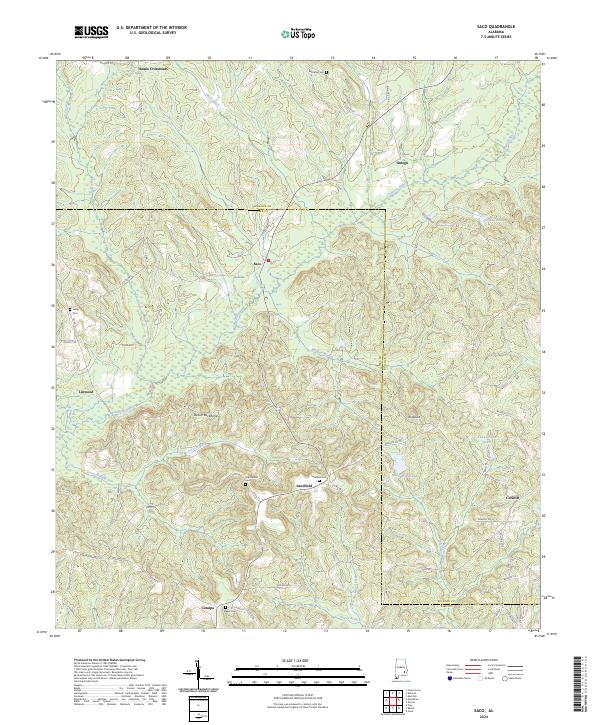
2024 Saco
Pike County, AL
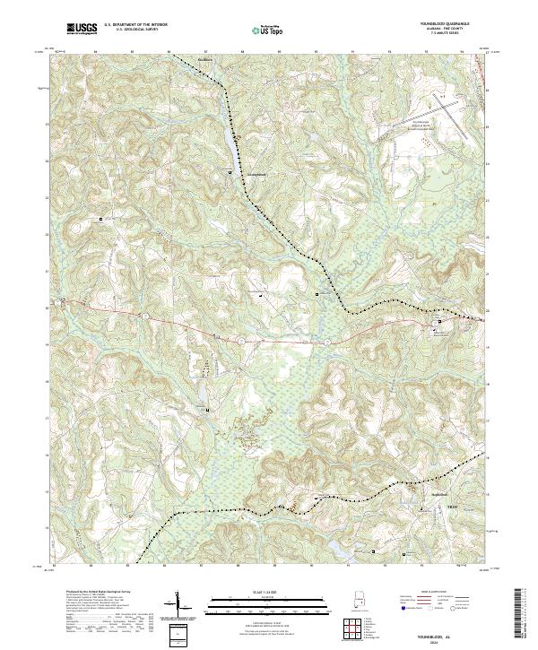
2024 Youngblood
Pike County, AL