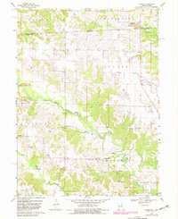
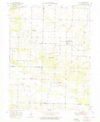
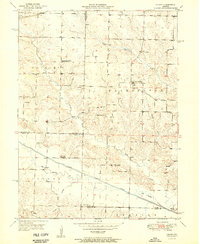
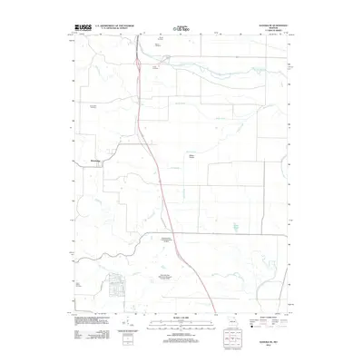
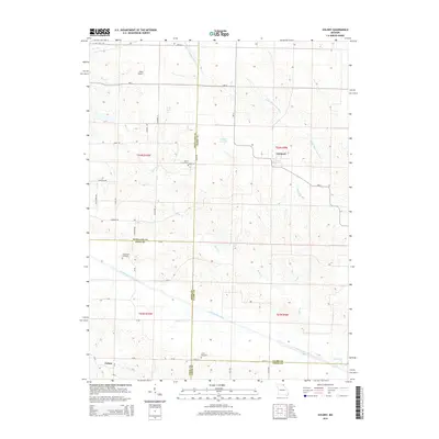
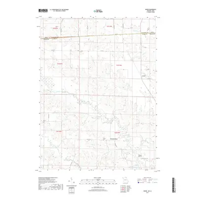
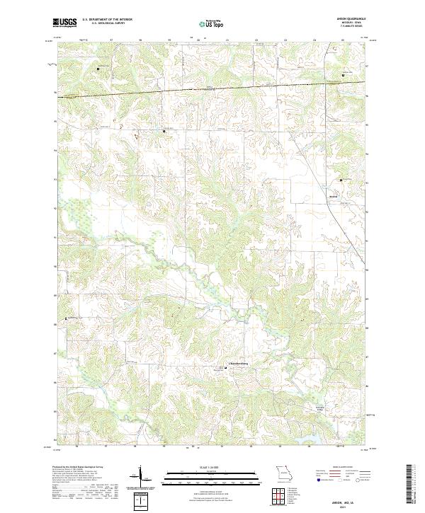
1968 Map of Anson
USGS Topo · Published 1983About this map
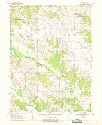
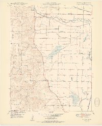
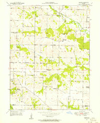
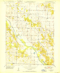
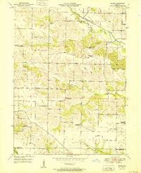
The Iowa Missouri state line bisects this landscape where the Fox River and Little Fox River wind through the borderlands of Clark County and Van Buren County. Small rural communities like Anson and Chambersburg serve as focal points for a region defined by scattered farmsteads and local institutions. Genealogists can identify several historic burial grounds and places of worship, including the Christy Cem, Troxel Cem, and Union Chapel. The presence of a Strip Mine and other mining activities near Rollins Creek suggests the local extraction industry of the mid-20th century. Large tracts of protected land, such as the Charlie Heath State Forest and Memorial Wildlife Area and Fox Valley State Forest, anchor the western and southern reaches of the map, preserving the woodland character of the river branches.
Find a feature on this map
32 named features on this map. Tap any name to fly to it.
Don’t see what you’re looking for? This feature index may not catch every label — zoom into the map to look around manually.
Map Details
Editions of this 1968 Anson Map
2 editions found
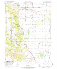
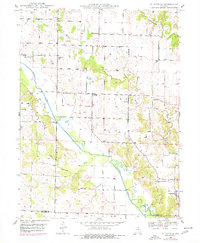
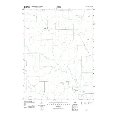
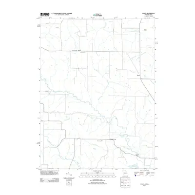
Historical Maps of Anson Through Time
30 maps found
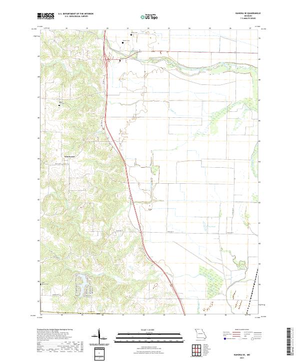
1949 Kahoka SE
Clark County, MO
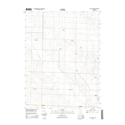
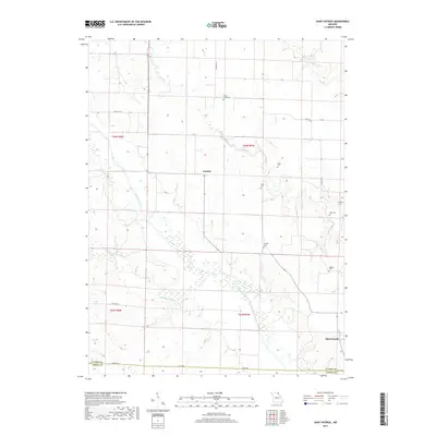
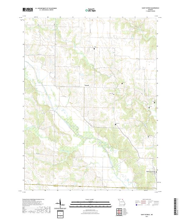
1949 St. Patrick
Clark County, MO
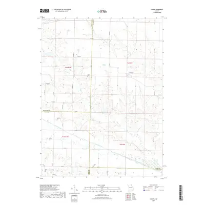
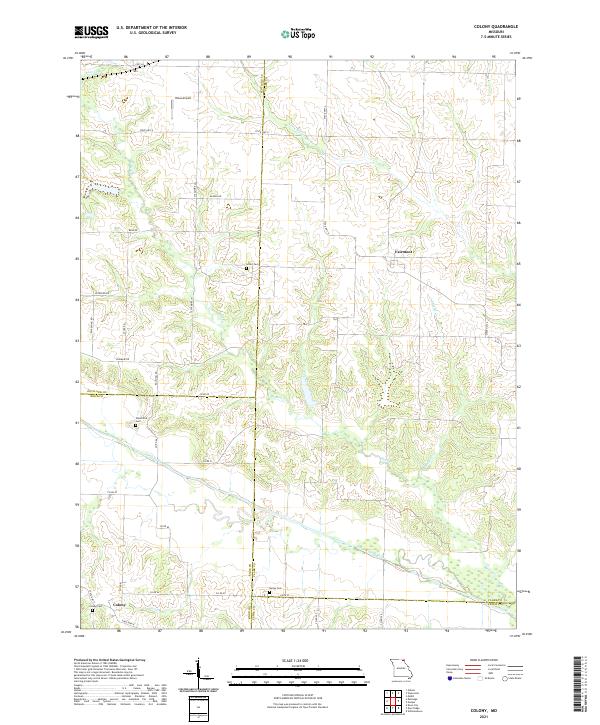
1950 Colony
Clark County, MO
1950 Kahoka SE
Clark County, MO
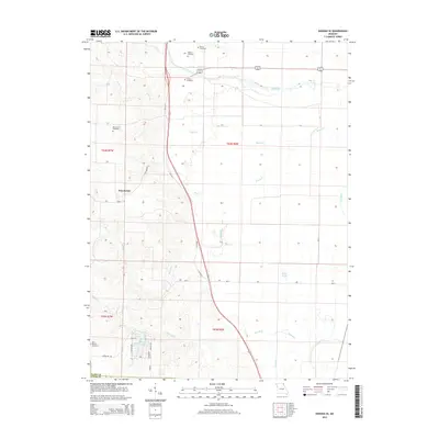
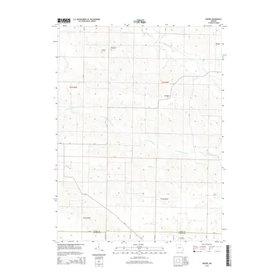
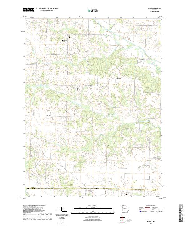
1950 Neeper
Clark County, MO
1950 St. Patrick
Clark County, MO
1951 Colony
Clark County, MO
1951 Neeper
Clark County, MO
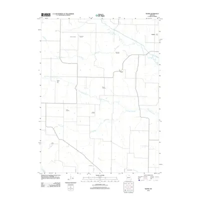
1968 Anson
Clark County, MO
2010 Anson
Clark County, MO
2012 Anson
Clark County, MO

2012 Colony
Clark County, MO
2012 Kahoka SE
Clark County, MO
2012 Neeper
Clark County, MO
2012 Saint Patrick
Clark County, MO
2014 Anson
Clark County, MO
2014 Colony
Clark County, MO
2014 Kahoka SE
Clark County, MO
2014 Neeper
Clark County, MO
2014 Saint Patrick
Clark County, MO
2017 Anson
Clark County, MO
2017 Colony
Clark County, MO
2017 Kahoka SE
Clark County, MO
2017 Neeper
Clark County, MO
2017 Saint Patrick
Clark County, MO
2021 Anson
Clark County, MO
2021 Colony
Clark County, MO
2021 Kahoka SE
Clark County, MO
2021 Neeper
Clark County, MO
2021 Saint Patrick
Clark County, MO