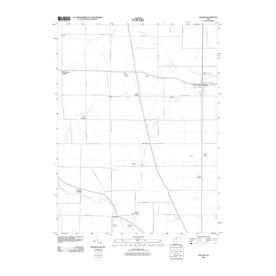
2010 Map of Ansonia
USGS Topo · Published 2010About this map
Ansonia serves as the primary hub of this Darke County landscape, situated at the confluence of the North Fork Stillwater River and the main Stillwater River. The area is characterized by a dense network of rural road crossings and named corners, including Zumbrum Corners, Hunchberger Corners, and Sharps Crossing. This settlement pattern suggests a deeply rooted agricultural community where family-named landmarks and local intersections defined the geography.
Find a feature on this map
60 named features on this map. Tap any name to fly to it.
Don’t see what you’re looking for? This feature index may not catch every label — zoom into the map to look around manually.
Map Details
Editions of this 2010 Ansonia Map
This is the sole edition of this map. No revisions or reprints were ever made.
Other maps of this area

1908 · St. Henry
USGS Topo · 1:62,500

1915 · Fort Recovery
USGS Topo · 1:48,000

1916 · Winchester
USGS Topo · 1:48,000

1918 · Winchester
USGS Topo · 1:62,500

1918 · Fort Recovery
USGS Topo · 1:62,500

1943 · Winchester
USGS Topo · 1:62,500

1953 · Muncie
USGS Topo · 1:250,000

1956 · Muncie
USGS Topo · 1:250,000

1960 · Union City
USGS Topo · 1:24,000
1960 · Spartanburg
USGS Topo · 1:24,000