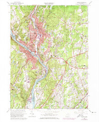
1964 Map of Ansonia
USGS Topo · Published 1974About this map
Industrial and residential development along the Housatonic River defines the landscape of Ansonia, Derby, and Shelton during the early 1970s. The dense corridor of the Penn Central railroad follows the riverbanks, supporting the manufacturing centers while suburban growth expands eastward toward Orange and north into Woodbridge. The map reveals the intricate water management system of the era, featuring numerous reservoirs such as Peat Swamp Reservoir, Middle Reservoir, and the Wepawaug Res which supported the growing population.
Find a feature on this map
81 named features on this map. Tap any name to fly to it.
Don’t see what you’re looking for? This feature index may not catch every label — zoom into the map to look around manually.
Map Details
Editions of this 1964 Ansonia Map
4 editions found
Other maps of this area

1889 · Derby
USGS Topo · 1:62,500

1891 · Bridgeport
USGS Topo · 1:62,500

1891 · Derby
USGS Topo · 1:62,500

1892 · New Haven
USGS Topo · 1:62,500

1893 · Bridgeport
USGS Topo · 1:62,500

1893 · Derby
USGS Topo · 1:62,500

1920 · Bridgeport
USGS Topo · 1:62,500

1921 · New Haven
USGS Topo · 1:62,500

1943 · New Haven
USGS Topo · 1:31,680

1943 · Naugatuck
USGS Topo · 1:31,680