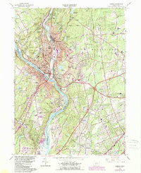
1964 Map of Ansonia
USGS Topo · Published 1984About this map
The confluence of the Housatonic River and Naugatuck River anchors this mid-century look at the industrial heart of the Naugatuck Valley. The densely developed urban centers of Ansonia, Derby, and Shelton show a complex network of residential streets and manufacturing infrastructure, including the Conrail lines that once powered the region's brass and textile economy. Beyond the industrial core, the landscape transitions into the hills and reservoirs of Orange and Woodbridge, where suburban expansion is evident near the Wilbur Cross Parkway. Large protected spaces such as Osbornedale State Park and the Ansonia Airfield provide a stark contrast to the tightly packed riverfront wards. Genealogists will find significant detail in the numerous local burial grounds, including the large Pine Grove Cemetery and Riverside Cemetery, which document the long-standing community history of this river junction.
Find a feature on this map
82 named features on this map. Tap any name to fly to it.
Don’t see what you’re looking for? This feature index may not catch every label — zoom into the map to look around manually.
Map Details
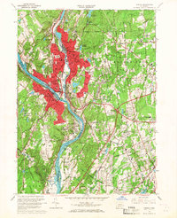
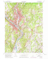
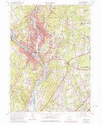
Editions of this 1964 Ansonia Map
4 editions found
Other maps of this area

1889 · Derby
USGS Topo · 1:62,500

1891 · Bridgeport
USGS Topo · 1:62,500

1891 · Derby
USGS Topo · 1:62,500

1892 · New Haven
USGS Topo · 1:62,500

1893 · Bridgeport
USGS Topo · 1:62,500

1893 · Derby
USGS Topo · 1:62,500

1920 · Bridgeport
USGS Topo · 1:62,500

1921 · New Haven
USGS Topo · 1:62,500

1943 · New Haven
USGS Topo · 1:31,680

1943 · Naugatuck
USGS Topo · 1:31,680