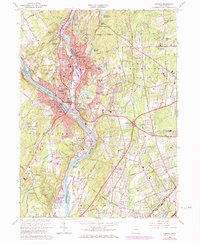
1964 Map of Ansonia
USGS Topo · Published 1984About this map
The Housatonic River serves as the industrial and topographic spine of this region, separating the valley cities of Ansonia, Derby, and Shelton. By the early 1970s, the landscape shows a complex layering of traditional New England manufacturing centers and burgeoning mid-century suburban expansion. The valley floor is densely settled, anchored by the Penn Central rail line and large medical and social institutions like the Laurel Heights State Sanitarium and Long Hill Hospital.
Find a feature on this map
149 named features on this map. Tap any name to fly to it.
Don’t see what you’re looking for? This feature index may not catch every label — zoom into the map to look around manually.
Map Details
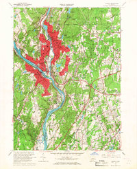
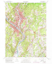
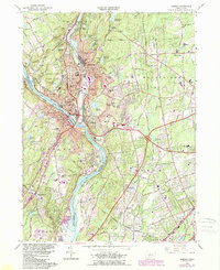
Editions of this 1964 Ansonia Map
4 editions found
Other maps of this area

1889 · Derby
USGS Topo · 1:62,500

1891 · Bridgeport
USGS Topo · 1:62,500

1891 · Derby
USGS Topo · 1:62,500

1892 · New Haven
USGS Topo · 1:62,500

1893 · Bridgeport
USGS Topo · 1:62,500

1893 · Derby
USGS Topo · 1:62,500

1920 · Bridgeport
USGS Topo · 1:62,500

1921 · New Haven
USGS Topo · 1:62,500

1943 · New Haven
USGS Topo · 1:31,680

1943 · Naugatuck
USGS Topo · 1:31,680