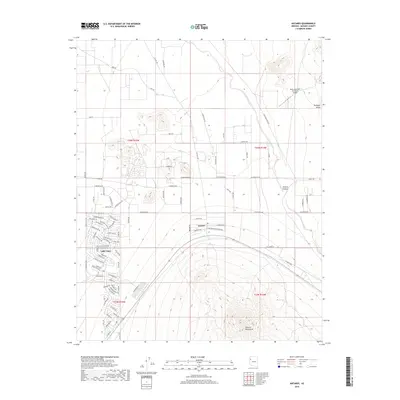
2018 Map of Antares
USGS Topo · Published 2018About this map
Valle Vista stands out as a sprawling residential development in the high desert of Mohave County, its intricate street network contrasting with the open expanses of the Hualapai Valley. The settlement pattern here reveals a modern era of desert living, characterized by planned communities and private airfields like the Music Mountain Air Ranch Airport situated to the northeast. The terrain is dramatically defined by the rising slopes of the Peacock Mountains to the south and the winding path of Truxton Wash as it moves through Truxton Canyon.
Find a feature on this map
93 named features on this map. Tap any name to fly to it.
Don’t see what you’re looking for? This feature index may not catch every label — zoom into the map to look around manually.
Map Details
Editions of this 2018 Antares Map
This is the sole edition of this map. No revisions or reprints were ever made.
Other maps of this area

1886 · Diamond Creek
USGS Topo · 1:250,000

1892 · Diamond Creek
USGS Topo · 1:250,000

1948 · Williams
USGS Topo · 1:250,000

1954 · Williams
USGS Topo · 1:250,000

1956 · Williams
USGS Topo · 1:250,000

1960 · Williams
USGS Topo · 1:250,000

1961 · Williams
USGS Topo · 1:250,000

1967 · Milkweed Canyon SW
USGS Topo · 1:24,000
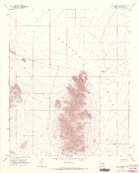
1968 · Long Mountain
USGS Topo · 1:24,000
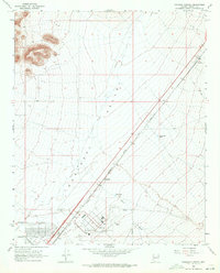
1968 · Kingman Airport
USGS Topo · 1:24,000