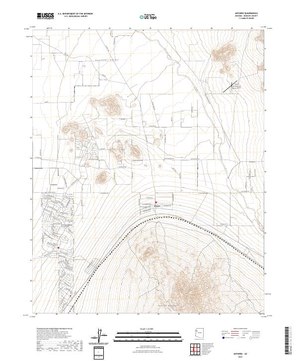
2023 Map of Antares
USGS Topo · Published 2023About this map
Antares sits at the base of the Peacock Mountains in this modern topographic survey of Mohave County. The settlement pattern here is defined by a sparse but organized grid of desert roads, including Huntington Rd and California Dr, which spread across the floor of the Hualapai Valley. The landscape is characterized by its arid drainage systems, notably Truxton Wash as it moves through the northeastern reaches. A significant landmark for aviation and local navigation is the Music Mountain Air Ranch Airport, located near the northern edge of the quadrangle. Smaller water features like Butte Tank point to the critical role of water management in this high-desert environment, where the terrain transitions sharply from the alluvial plains of the valley to the steep, rising contours of the nearby mountain range.
Find a feature on this map
87 named features on this map. Tap any name to fly to it.
Don’t see what you’re looking for? This feature index may not catch every label — zoom into the map to look around manually.
Map Details
Editions of this 2023 Antares Map
This is the sole edition of this map. No revisions or reprints were ever made.
Other maps of this area

1886 · Diamond Creek
USGS Topo · 1:250,000

1892 · Diamond Creek
USGS Topo · 1:250,000

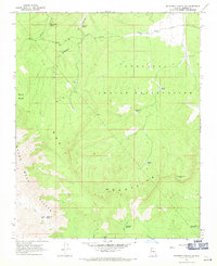
1948 · Williams
USGS Topo · 1:250,000

1954 · Williams
USGS Topo · 1:250,000

1956 · Williams
USGS Topo · 1:250,000

1960 · Williams
USGS Topo · 1:250,000

1961 · Williams
USGS Topo · 1:250,000
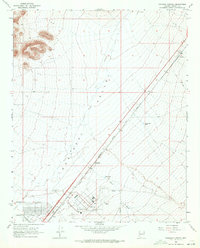
1967 · Milkweed Canyon SW
USGS Topo · 1:24,000
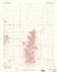
1968 · Long Mountain
USGS Topo · 1:24,000
1968 · Kingman Airport
USGS Topo · 1:24,000