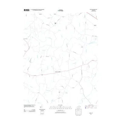
2013 Map of Ante
USGS Topo · Published 2013About this map
The Meherrin River winds through this rural landscape of southern Virginia, defining a terrain shaped by agriculture and small crossroads communities. North of the river, the historic site of Webbs Mill sits near the headwaters of Reedy Cr, while the settlements of Racume and Totaro anchor the northern reaches of the quadrangle. The map reveals a high density of named roads and family-associated locations such as Hill Top Farm and Goose Berry Farm, suggesting a long history of local land ownership and lineage in the area around Harris Crossroads.
Find a feature on this map
59 named features on this map. Tap any name to fly to it.
Don’t see what you’re looking for? This feature index may not catch every label — zoom into the map to look around manually.
Map Details
Editions of this 2013 Ante Map
This is the sole edition of this map. No revisions or reprints were ever made.
Other maps of this area

1918 · Lawrenceville
USGS Topo · 1:62,500

1919 · Mc Kenney
USGS Topo · 1:48,000

1919 · White Plains
USGS Topo · 1:48,000

1919 · Emporia
USGS Topo · 1:62,500

1920 · Lawrenceville
USGS Topo · 1:48,000

1920 · White Plains
USGS Topo · 1:62,500

1921 · Mc Kenney
USGS Topo · 1:62,500

1921 · Lawrenceville
USGS Topo · 1:62,500

1942 · Lawrenceville
USGS Topo · 1:62,500

1942 · Emporia
USGS Topo · 1:62,500