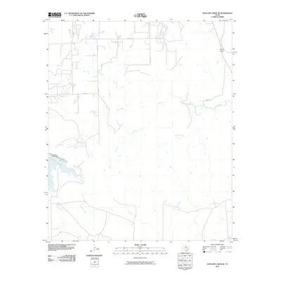
2010 Map of Antelope Creek NE
USGS Topo · Published 2010About this map
Millers Creek Reservoir dominates the western landscape of this Baylor County territory, where modern water management shapes the rural environment. The Millers Creek Dam regulates the flow of Millers Creek, which is joined by several tributaries including Mexican Creek and Dutch Creek. The drainage patterns here are complex, with Louse Run and Gray Back Creek carving through the plains, while the Brazos River clips the northeastern corner. A network of county roads, such as Co RD 454 and Higgins Rd, provides access to the surrounding ranchland. This 2010 survey illustrates the intersection of vital water resources and the enduring agricultural road grid characteristic of North Texas, mapping the transition from the Antelope Creek bottomlands to the higher elevation divide between local watersheds.
Find a feature on this map
19 named features on this map. Tap any name to fly to it.
Don’t see what you’re looking for? This feature index may not catch every label — zoom into the map to look around manually.
Map Details
Editions of this 2010 Antelope Creek NE Map
This is the sole edition of this map. No revisions or reprints were ever made.
Other maps of this area

1954 · Wichita Falls
USGS Topo · 1:250,000

1958 · Wichita Falls
USGS Topo · 1:250,000

1962 · Antelope Creek SW
USGS Topo · 1:24,000

1962 · Antelope Creek SE
USGS Topo · 1:24,000

1962 · Antelope Creek NE
USGS Topo · 1:24,000

1962 · Antelope Creek NW
USGS Topo · 1:24,000

1966 · Seymour West
USGS Topo · 1:24,000

1966 · Rock Canyon
USGS Topo · 1:24,000

1966 · Westover SW
USGS Topo · 1:24,000

1966 · Bomarton
USGS Topo · 1:24,000