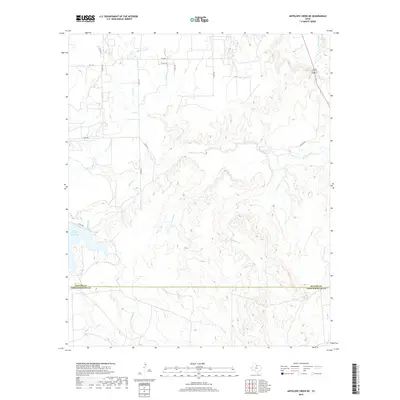
2019 Map of Antelope Creek NE
USGS Topo · Published 2019About this map
Millers Creek Reservoir dominates the western landscape of this North Texas terrain, where the waters of Millers Creek are impounded before flowing eastward across the county line. The landscape is defined by a dense network of intermittent drainage, with Louse Run, Dutch Creek, and Gray Back Creek carving intricate paths through the cattle country of the Rolling Plains. In the northeast corner, a bend of the Brazos River cuts through the topography, marking a stark contrast to the smaller ephemeral streams like Mexican Creek and Marys Creek that crisscross the ranch lands. The boundary between Baylor County and Throckmorton County runs west to east, anchored by a grid of rural routes including FM 1152 and Higgins Road. This map illustrates the transition from high-ground grazing areas to the riparian zones of the Brazos basin, showing the essential relationship between water management and the modern Texas ranching economy.
Find a feature on this map
24 named features on this map. Tap any name to fly to it.
Don’t see what you’re looking for? This feature index may not catch every label — zoom into the map to look around manually.
Map Details
Editions of this 2019 Antelope Creek NE Map
This is the sole edition of this map. No revisions or reprints were ever made.
Other maps of this area

1954 · Wichita Falls
USGS Topo · 1:250,000

1958 · Wichita Falls
USGS Topo · 1:250,000

1962 · Antelope Creek SW
USGS Topo · 1:24,000

1962 · Antelope Creek SE
USGS Topo · 1:24,000

1962 · Antelope Creek NE
USGS Topo · 1:24,000

1962 · Antelope Creek NW
USGS Topo · 1:24,000

1966 · Seymour West
USGS Topo · 1:24,000

1966 · Rock Canyon
USGS Topo · 1:24,000

1966 · Westover SW
USGS Topo · 1:24,000

1966 · Bomarton
USGS Topo · 1:24,000