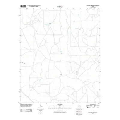
2010 Map of Antelope Creek SE
USGS Topo · Published 2010About this map
Swenson Oil Field anchors the central landscape of this Throckmorton County region, illustrating the enduring intersection of Texas energy production and ranching geography. The terrain is defined by an intricate drainage system where Antelope Creek and Flat Rock Creek wind toward local reservoirs. Controlled water sources like Antelope Lake and Swenson Lake, secured by the Antelope Lake Dam and Swenson Lake Dam, highlight the critical role of water management in this arid environment. The network of unnamed local roads and routes such as Co RD 134 connect these industrial and hydrological points across a landscape also marked by seasonal watercourses like Spring Hollow and North Boggy Creek.
Find a feature on this map
16 named features on this map. Tap any name to fly to it.
Don’t see what you’re looking for? This feature index may not catch every label — zoom into the map to look around manually.
Map Details
Editions of this 2010 Antelope Creek SE Map
This is the sole edition of this map. No revisions or reprints were ever made.
Other maps of this area

1954 · Wichita Falls
USGS Topo · 1:250,000

1958 · Wichita Falls
USGS Topo · 1:250,000

1962 · Antelope Creek SW
USGS Topo · 1:24,000

1962 · Antelope Creek SE
USGS Topo · 1:24,000

1962 · Antelope Creek NE
USGS Topo · 1:24,000

1962 · Antelope Creek NW
USGS Topo · 1:24,000

1965 · Reynolds Bend NW
USGS Topo · 1:24,000

1966 · Rock Canyon
USGS Topo · 1:24,000

1966 · Westover SW
USGS Topo · 1:24,000

1966 · Tonk Creek
USGS Topo · 1:24,000