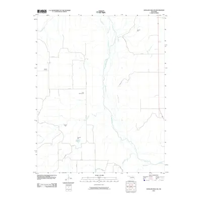
2010 Map of Antelope Hills NE
USGS Topo · Published 2010About this map
The Canadian River meanders through this portion of Oklahoma, carving a broad valley where its braided channels and seasonal waters define the local geography. In this rural landscape, water management is central to the land's utility, evidenced by a series of small-scale infrastructure projects including the Johnson Dam and Frank McKram Dam. The presence of the Hanawalt Reservoir, supported by the Hanawalt Dam, provides a more significant catchment area amidst the various tributaries like Cottonwood Creek and Dugout Creek.
Find a feature on this map
27 named features on this map. Tap any name to fly to it.
Don’t see what you’re looking for? This feature index may not catch every label — zoom into the map to look around manually.
Map Details
Editions of this 2010 Antelope Hills NE Map
This is the sole edition of this map. No revisions or reprints were ever made.
Other maps of this area

1955 · Clinton
USGS Topo · 1:250,000

1955 · Woodward
USGS Topo · 1:250,000

1957 · Clinton
USGS Topo · 1:250,000

1958 · Woodward
USGS Topo · 1:250,000

1965 · Roll NW
USGS Topo · 1:24,000

1965 · Crawford
USGS Topo · 1:24,000

1966 · Roll
USGS Topo · 1:24,000

1966 · Antelope Hills NE
USGS Topo · 1:24,000

1966 · Antelope Hills
USGS Topo · 1:24,000

1966 · Durham
USGS Topo · 1:24,000