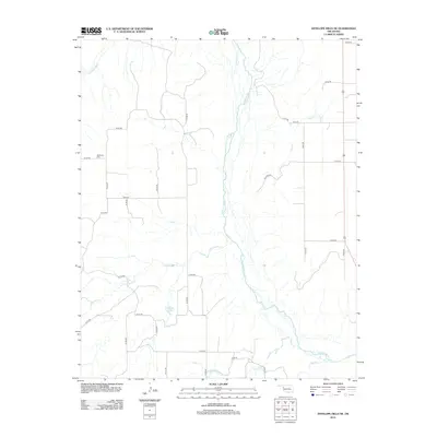
2012 Map of Antelope Hills NE
USGS Topo · Published 2012About this map
The Canadian River meanders across this landscape in Ellis County, Oklahoma, defining a terrain of seasonal drainages and rural sections. In the northwest corner, Belleview Cem serves as a small but vital landmark for genealogists and local historians, representing the long-standing community footprint in this part of the state. The hydrology is dominated by a series of named creeks, including Cottonwood Cr, Mosquito Cr, and Sand Cr, which gather at the central river corridor.
Find a feature on this map
32 named features on this map. Tap any name to fly to it.
Don’t see what you’re looking for? This feature index may not catch every label — zoom into the map to look around manually.
Map Details
Editions of this 2012 Antelope Hills NE Map
This is the sole edition of this map. No revisions or reprints were ever made.
Other maps of this area

1955 · Clinton
USGS Topo · 1:250,000

1955 · Woodward
USGS Topo · 1:250,000

1957 · Clinton
USGS Topo · 1:250,000

1958 · Woodward
USGS Topo · 1:250,000

1965 · Roll NW
USGS Topo · 1:24,000

1965 · Crawford
USGS Topo · 1:24,000

1966 · Roll
USGS Topo · 1:24,000

1966 · Antelope Hills NE
USGS Topo · 1:24,000

1966 · Antelope Hills
USGS Topo · 1:24,000

1966 · Durham
USGS Topo · 1:24,000