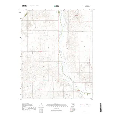
2018 Map of Antelope Hills NE
USGS Topo · Published 2018About this map
The Canadian River cuts diagonally across this portion of Western Oklahoma, forming a prominent natural boundary between Ellis County and Roger Mills County. The landscape is defined by the river’s wide, braided course and the various creeks that feed into it, including Cottonwood Creek and Mosquito Creek. Agricultural activity is visible through a grid-based road network including Grand Road and Pinkston Road, which connect various sections of the plains and dissected uplands.
Find a feature on this map
33 named features on this map. Tap any name to fly to it.
Don’t see what you’re looking for? This feature index may not catch every label — zoom into the map to look around manually.
Map Details
Editions of this 2018 Antelope Hills NE Map
This is the sole edition of this map. No revisions or reprints were ever made.
Other maps of this area

1955 · Clinton
USGS Topo · 1:250,000

1955 · Woodward
USGS Topo · 1:250,000

1957 · Clinton
USGS Topo · 1:250,000

1958 · Woodward
USGS Topo · 1:250,000

1965 · Roll NW
USGS Topo · 1:24,000

1965 · Crawford
USGS Topo · 1:24,000

1966 · Roll
USGS Topo · 1:24,000

1966 · Antelope Hills NE
USGS Topo · 1:24,000

1966 · Antelope Hills
USGS Topo · 1:24,000

1966 · Durham
USGS Topo · 1:24,000