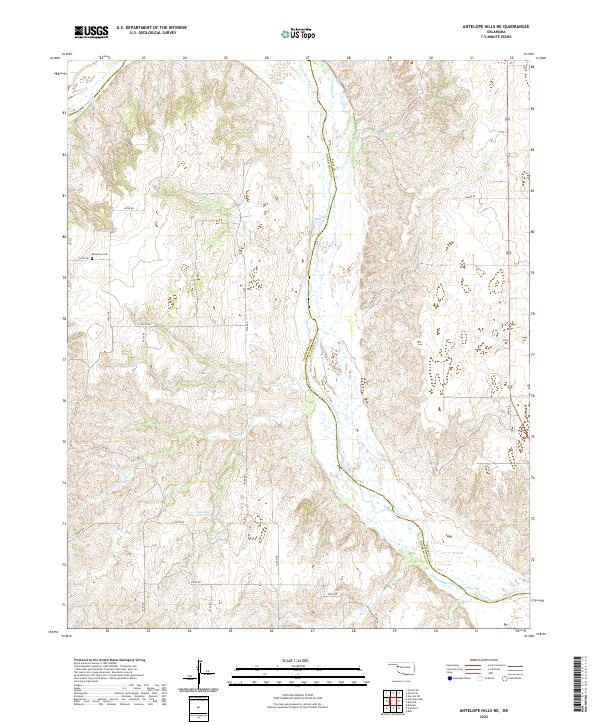
2022 Map of Antelope Hills NE
USGS Topo · Published 2022About this map
The Canadian River cuts a wide, braided path through this rural portion of the Oklahoma panhandle region, marking the boundary between Ellis and Roger Mills counties. The landscape is characterized by a high density of intermittent drainages and named creeks including Mosquito Creek, Cottonwood Creek, and Sand Creek, which feeding into the larger river system. This topography reflects a classic Great Plains fluvial environment where water management is central to the local economy, as evidenced by the Hanawalt Reservoir. Cultural markers are sparse but significant for genealogy and local history, notably the Belleview Cemetery located along E0730 Road. A strictly gridded network of section-line roads, such as Grand Road and Pinkston Road, organizes the ranching and agricultural land into the standard townships and ranges of the Public Land Survey System.
Find a feature on this map
33 named features on this map. Tap any name to fly to it.
Don’t see what you’re looking for? This feature index may not catch every label — zoom into the map to look around manually.
Map Details
Editions of this 2022 Antelope Hills NE Map
This is the sole edition of this map. No revisions or reprints were ever made.
Other maps of this area

1955 · Clinton
USGS Topo · 1:250,000

1955 · Woodward
USGS Topo · 1:250,000

1957 · Clinton
USGS Topo · 1:250,000

1958 · Woodward
USGS Topo · 1:250,000

1965 · Roll NW
USGS Topo · 1:24,000

1965 · Crawford
USGS Topo · 1:24,000

1966 · Roll
USGS Topo · 1:24,000

1966 · Antelope Hills NE
USGS Topo · 1:24,000

1966 · Antelope Hills
USGS Topo · 1:24,000

1966 · Durham
USGS Topo · 1:24,000