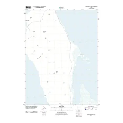
2011 Map of Antelope Island
USGS Topo · Published 2011About this map
Antelope Island rises from the surrounding Great Salt Lake in this 2011 survey, showing a landscape defined by prominent ridges and isolated springs. The map documents the island's varied topography, from the heights of Frary Peak and Stringham Peak to the distinct lowlands of Fremont Strait. The island's geography is punctuated by descriptively named landmarks such as Mollys Nipple, Elephant Head, and The Sentry, suggesting a history of local navigation and landform naming.
Find a feature on this map
29 named features on this map. Tap any name to fly to it.
Don’t see what you’re looking for? This feature index may not catch every label — zoom into the map to look around manually.
Map Details
Editions of this 2011 Antelope Island Map
This is the sole edition of this map. No revisions or reprints were ever made.
Other maps of this area

1885 · Tooele Valley
USGS Topo · 1:250,000

1951 · Saltair
USGS Topo · 1:24,000

1952 · Saltair NE
USGS Topo · 1:24,000

1952 · Antelope Island South
USGS Topo · 1:24,000

1953 · Tooele
USGS Topo · 1:250,000

1954 · Antelope Island
USGS Topo · 1:24,000

1954 · Antelope Island North
USGS Topo · 1:24,000

1954 · Brigham City
USGS Topo · 1:250,000

1955 · Clearfield
USGS Topo · 1:24,000

1955 · Tooele
USGS Topo · 1:250,000