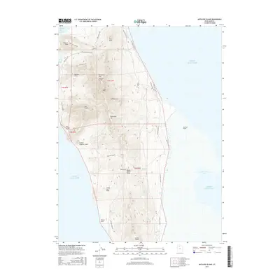
2017 Map of Antelope Island
USGS Topo · Published 2017About this map
Antelope Island rises from the Great Salt Lake in this 2017 survey, revealing a landscape defined by prominent peaks and vital freshwater springs. The island's high spine includes Frary Peak, Stringham Peak, and Dooly Knob, offering significant elevation above the surrounding brine. Local history is anchored at the Frary Grave Site, marking the human presence on this isolated landmass. The map detail highlights the complex drainage and water sources necessary for island life, including Cedar Spring, Mushroom Springs, and Dooly Spring. An established trail network, featuring the Elephant Head Trail and White Rock Loop, connects topographical landmarks like Elephant Head and Mormon Rocks. To the east, the island's shoreline meets Farmington Bay at Sea Gull Point, while the west coast is indented by Split Rock Bay.
Find a feature on this map
40 named features on this map. Tap any name to fly to it.
Don’t see what you’re looking for? This feature index may not catch every label — zoom into the map to look around manually.
Map Details
Editions of this 2017 Antelope Island Map
This is the sole edition of this map. No revisions or reprints were ever made.
Other maps of this area

1885 · Tooele Valley
USGS Topo · 1:250,000

1951 · Saltair
USGS Topo · 1:24,000

1952 · Saltair NE
USGS Topo · 1:24,000

1952 · Antelope Island South
USGS Topo · 1:24,000

1953 · Tooele
USGS Topo · 1:250,000

1954 · Antelope Island
USGS Topo · 1:24,000

1954 · Antelope Island North
USGS Topo · 1:24,000

1954 · Brigham City
USGS Topo · 1:250,000

1955 · Clearfield
USGS Topo · 1:24,000

1955 · Tooele
USGS Topo · 1:250,000