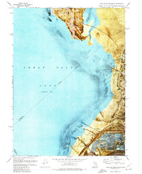
1972 Map of Antelope Island South
USGS Topo · Published 1974About this map
The southeastern reaches of the Great Salt Lake are defined by the industrial and recreational remnants of the early 1970s. This orthophotomap, which layers topographic contours over aerial photography, reveals the stark contrast between the natural elevations of Antelope Island, featuring Mollys Nipple and McIntyre Spring, and the engineered landscape to the south. The shoreline is marked by the presence of the Saltair Resort (Site) and Saltair Beach, situated near a heavy concentration of Salt Evaporators and a Tailings Pond. Infrastructure like the Salt Lake Garfield and Western line and an Old Railroad Grade trace the movement of resources across the Alkali or Mud flats, while a Gaging Station and Pumping Station manage the water levels of Lee Creek and the Goggin Drain.
Find a feature on this map
24 named features on this map. Tap any name to fly to it.
Don’t see what you’re looking for? This feature index may not catch every label — zoom into the map to look around manually.
Map Details
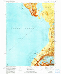
Editions of this 1972 Antelope Island South Map
2 editions found
Other maps of this area

1885 · Tooele Valley
USGS Topo · 1:250,000

1951 · Saltair
USGS Topo · 1:24,000

1952 · Saltair NE
USGS Topo · 1:24,000

1952 · Magna
USGS Topo · 1:24,000

1952 · Antelope Island South
USGS Topo · 1:24,000

1952 · Garfield
USGS Topo · 1:24,000

1953 · Tooele
USGS Topo · 1:250,000

1954 · Antelope Island
USGS Topo · 1:24,000

1955 · Mills Junction
USGS Topo · 1:24,000

1955 · Tooele
USGS Topo · 1:250,000