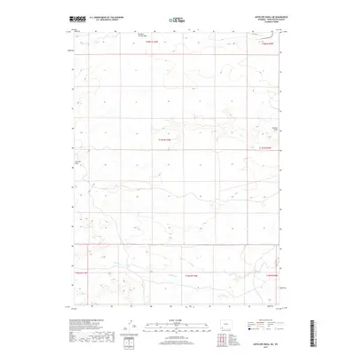
2017 Map of Antelope Knoll NE
USGS Topo · Published 2017About this map
Little Dry Creek winds across the southern reaches of this high desert landscape in Sweetwater County, marking a sparse hydrological network within the expansive Public Land Survey System grids. The terrain is defined by dry washes and drainage patterns, including the prominent Chicken Draw and the northern Meadow Springs Wash. This 2017 U.S. Geological Survey representation documents a region largely defined by its natural topography rather than dense settlement, with County Road 85 providing the primary transit route through the northern sections. The map serves as a precise record of the section lines and township boundaries that organize this part of the Wyoming interior, offering a clear view of the land's relief and the seasonal watercourses that shape the Sweetwater environment.
Find a feature on this map
11 named features on this map. Tap any name to fly to it.
Don’t see what you’re looking for? This feature index may not catch every label — zoom into the map to look around manually.
Map Details
Editions of this 2017 Antelope Knoll NE Map
This is the sole edition of this map. No revisions or reprints were ever made.
Other maps of this area

1954 · Rock Springs
USGS Topo · 1:250,000

1957 · Mc Kinnon Junction
USGS Topo · 1:62,500

1958 · Rock Springs
USGS Topo · 1:250,000

1961 · Little America
USGS Topo · 1:24,000

1961 · Granger
USGS Topo · 1:24,000

1961 · Bryan
USGS Topo · 1:24,000

1962 · Rock Springs
USGS Topo · 1:250,000

1964 · Antelope Knoll NE
USGS Topo · 1:24,000

1964 · Antelope Knoll
USGS Topo · 1:24,000

1964 · Winter Fat Reservoir
USGS Topo · 1:24,000