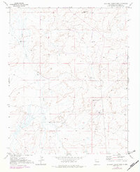
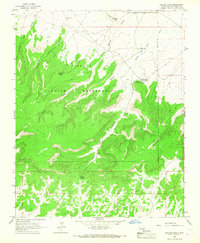
1970 Map of Antelope Lookout Mesa
USGS Topo · Published 1982About this map
Becenti Chapter House serves as a central landmark in this high-desert landscape of McKinley County, as documented in this 1970 survey. The terrain is dominated by prominent landforms including Tiger Walkup Mesa to the north and Antelope Lookout Mesa further south, illustrating the dramatic topography of the region. Water sources, vital for settlement and livestock in this arid environment, are specifically identified along the drainage of Indian Creek, where features like Flowing Well, Well, and Perry Well are noted. These sparse but critical water points, along with scattered Drill Hole markers, indicate the area's history of resource exploration and land use during the late 20th century.
Find a feature on this map
8 named features on this map. Tap any name to fly to it.
Don’t see what you’re looking for? This feature index may not catch every label — zoom into the map to look around manually.
Map Details
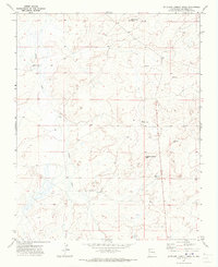
Editions of this 1970 Antelope Lookout Mesa Map
2 editions found
Other maps of this area

1886 · Wingate
USGS Topo · 1:250,000

1892 · Wingate
USGS Topo · 1:250,000

1954 · Gallup
USGS Topo · 1:250,000

1958 · Gallup
USGS Topo · 1:250,000

1959 · Gallup
USGS Topo · 1:250,000

1962 · Gallup
USGS Topo · 1:250,000
1963 · Crownpoint
USGS Topo · 1:24,000
1963 · Heart Rock
USGS Topo · 1:24,000
1963 · Dalton Pass
USGS Topo · 1:24,000

1967 · Gallup
USGS Topo · 1:250,000