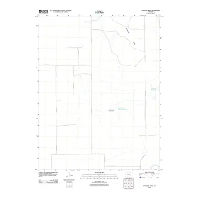
2010 Map of Antelope Mesa
USGS Topo · Published 2010About this map
Antelope Mesa dominates this high-plains landscape in Crowley County, defined by a sparse but systematic network of agricultural infrastructure. The territory is organized by a grid of rural routes such as County Lane 7 and County Road T, which connect isolated water management sites essential for high-altitude ranching and farming. Key landmarks include the George Lewis Number 6 Reservoir, secured by the George Lewis Number 6 Dam, and the Cudahy Reservoir to the east. At the southern edge of the survey, the Colorado Canal indicates the importance of managed water rights and transport in this arid environment. This 2010 snapshot captures the enduring rural character of the Colorado plains, where family-named landmarks and a rigid road grid reflect decades of land use and property boundaries.
Find a feature on this map
19 named features on this map. Tap any name to fly to it.
Don’t see what you’re looking for? This feature index may not catch every label — zoom into the map to look around manually.
Map Details
Editions of this 2010 Antelope Mesa Map
This is the sole edition of this map. No revisions or reprints were ever made.
Other maps of this area

1891 · Catlin
USGS Topo · 1:125,000

1891 · Nepesta
USGS Topo · 1:125,000

1893 · Nepesta
USGS Topo · 1:125,000

1893 · Catlin
USGS Topo · 1:125,000

1904 · Nepesta
USGS Topo · 1:125,000

1954 · Olney Springs
USGS Topo · 1:24,000

1954 · Ordway
USGS Topo · 1:24,000

1954 · Lamar
USGS Topo · 1:250,000

1954 · Pueblo
USGS Topo · 1:250,000

1957 · Pueblo
USGS Topo · 1:250,000