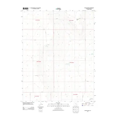
2013 Map of Antelope Mesa
USGS Topo · Published 2013About this map
Antelope Mesa rises as the central landform in this Crowley County landscape, defined by its high desert plateaus and vital water management infrastructure. The map depicts a carefully gridded system of rural roads, such as Co Road T and Co Lane 7, which navigate the elevation changes between the mesa and the surrounding lowlands. This network reflects the transition from open range to organized agricultural parcels in the early 21st century.
Find a feature on this map
25 named features on this map. Tap any name to fly to it.
Don’t see what you’re looking for? This feature index may not catch every label — zoom into the map to look around manually.
Map Details
Editions of this 2013 Antelope Mesa Map
This is the sole edition of this map. No revisions or reprints were ever made.
Other maps of this area

1891 · Catlin
USGS Topo · 1:125,000

1891 · Nepesta
USGS Topo · 1:125,000

1893 · Nepesta
USGS Topo · 1:125,000

1893 · Catlin
USGS Topo · 1:125,000

1904 · Nepesta
USGS Topo · 1:125,000

1954 · Olney Springs
USGS Topo · 1:24,000

1954 · Ordway
USGS Topo · 1:24,000

1954 · Lamar
USGS Topo · 1:250,000

1954 · Pueblo
USGS Topo · 1:250,000

1957 · Pueblo
USGS Topo · 1:250,000