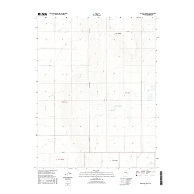
2016 Map of Antelope Mesa
USGS Topo · Published 2016About this map
Antelope Mesa anchors this landscape in western Crowley County, defining a high prairie environment where water management is central to the land's utility. The presence of the Colorado Canal in the southern portion of the quadrangle indicates the critical role of irrigation systems in this arid region. Several localized water features, including George Lewis Number 6 Reservoir and Cudahy Reservoir, suggest a history of private or cooperative ranching and agricultural efforts. The terrain is marked by the transition from the mesa top down toward the canal valley, with Bluff Springs providing a rare natural water source amidst a grid of rural section roads like Olney Springs Rd and Co Rd R.
Find a feature on this map
19 named features on this map. Tap any name to fly to it.
Don’t see what you’re looking for? This feature index may not catch every label — zoom into the map to look around manually.
Map Details
Editions of this 2016 Antelope Mesa Map
This is the sole edition of this map. No revisions or reprints were ever made.
Other maps of this area

1891 · Catlin
USGS Topo · 1:125,000

1891 · Nepesta
USGS Topo · 1:125,000

1893 · Nepesta
USGS Topo · 1:125,000

1893 · Catlin
USGS Topo · 1:125,000

1904 · Nepesta
USGS Topo · 1:125,000

1954 · Olney Springs
USGS Topo · 1:24,000

1954 · Ordway
USGS Topo · 1:24,000

1954 · Lamar
USGS Topo · 1:250,000

1954 · Pueblo
USGS Topo · 1:250,000

1957 · Pueblo
USGS Topo · 1:250,000