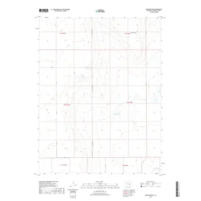
2019 Map of Antelope Mesa
USGS Topo · Published 2019About this map
Antelope Mesa defines the high ground of this Crowley County landscape, overlooking a series of water management features and seasonal drainages. The terrain is marked by the presence of Bluff Springs and the expansive George Lewis Number 6 Reservoir, which serve as vital water sources for the surrounding high plains. In the southern portion of the quadrangle, the Colorado Canal cuts across the landscape, illustrating the critical irrigation infrastructure that supports agriculture in this part of Colorado. A structured grid of section lines and county roads, including the prominent north-south Olney Springs Rd, organizes the territory within Townships 19, 20, and 21 South. This network, combined with roads like Co Rd R and Co Rd K, reflects the systematic land use patterns characteristic of the American West.
Find a feature on this map
17 named features on this map. Tap any name to fly to it.
Don’t see what you’re looking for? This feature index may not catch every label — zoom into the map to look around manually.
Map Details
Editions of this 2019 Antelope Mesa Map
This is the sole edition of this map. No revisions or reprints were ever made.
Other maps of this area

1891 · Catlin
USGS Topo · 1:125,000

1891 · Nepesta
USGS Topo · 1:125,000

1893 · Nepesta
USGS Topo · 1:125,000

1893 · Catlin
USGS Topo · 1:125,000

1904 · Nepesta
USGS Topo · 1:125,000

1954 · Olney Springs
USGS Topo · 1:24,000

1954 · Ordway
USGS Topo · 1:24,000

1954 · Lamar
USGS Topo · 1:250,000

1954 · Pueblo
USGS Topo · 1:250,000

1957 · Pueblo
USGS Topo · 1:250,000