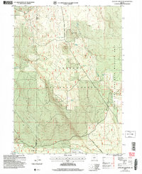
2004 Map of Antelope Mountain
USGS Topo · Published 2007About this map
Antelope Mountain dominates this high-desert landscape on the border of Klamath and Lake counties, where the high elevation dictates a sparse settlement pattern. Much of the terrain is defined by volcanic features and the management of the Fremont National Forest, including the Timothy Butte area and the eastern stretches of the Fort Rock Wildlife Area. The lack of surface water is evident in the presence of several deep-source infrastructure points such as Glades Well, Matts Well, and the noted Timothy Well (Dry).
Find a feature on this map
18 named features on this map. Tap any name to fly to it.
Don’t see what you’re looking for? This feature index may not catch every label — zoom into the map to look around manually.
Map Details
Editions of this 2004 Antelope Mountain Map
This is the sole edition of this map. No revisions or reprints were ever made.
Other maps of this area

1955 · Crescent
USGS Topo · 1:250,000

1957 · Crescent
USGS Topo · 1:250,000

1958 · Crescent
USGS Topo · 1:250,000

1968 · Location Butte
USGS Topo · 1:24,000

1968 · Rodman Rock
USGS Topo · 1:24,000

1968 · Oatman Flat
USGS Topo · 1:24,000
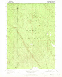
1968 · Antelope Mtn
USGS Topo · 1:24,000
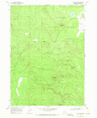
1968 · Bear Butte
USGS Topo · 1:24,000
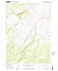
1968 · Bridge Creek Draw
USGS Topo · 1:24,000

1970 · Crescent
USGS Topo · 1:250,000