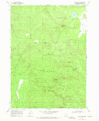
1968 Map of Bear Butte
USGS Topo · Published 1972About this map
Old Indian Treaty Boundary segments the high timberlands of the Pacific Northwest, dividing the landscape between the Fremont National Forest and Winema National Forest. This late 1960s survey documents a volcanic terrain defined by prominent peaks like Bear Butte, Doeskin Butte, and Little Yamsay Mtn. Industrial and ranching activity is sparse but present, noted at the Porter Ranch near the eastern edge and various Cinder Pits and a Quarry scattered among the timber. A complex network of drainages including Dillon Creek, Rock Creek, and Buckskin Creek feeds into clearings such as Long Prairie and Deely Meadow. The presence of a Lookout at Bear Butte and the Silver Lake Road suggests the area's role in fire management and resource access during this era.
Find a feature on this map
33 named features on this map. Tap any name to fly to it.
Don’t see what you’re looking for? This feature index may not catch every label — zoom into the map to look around manually.
Map Details
Editions of this 1968 Bear Butte Map
2 editions found
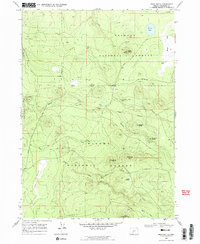
Other maps of this area

1889 · Klamath
USGS Topo · 1:250,000

1894 · Klamath
USGS Topo · 1:250,000

1935 · Chemult
USGS Topo · 1:96,000

1941 · Chemult
USGS Topo · 1:125,000

1955 · Crescent
USGS Topo · 1:250,000

1955 · Klamath Falls
USGS Topo · 1:250,000

1957 · Crescent
USGS Topo · 1:250,000

1957 · Klamath Marsh
USGS Topo · 1:62,500

1958 · Crescent
USGS Topo · 1:250,000

1958 · Klamath Falls
USGS Topo · 1:250,000