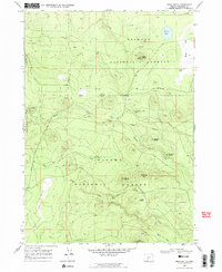
1968 Map of Bear Butte
USGS Topo · Published 1972About this map
The Fremont National Forest and Winema National Forest dominate this high-elevation landscape in late 1960s Klamath County. The terrain is defined by a series of volcanic peaks and ridges, including Bear Butte, Doeskin Butte, and Fire Butte, which rise above the surrounding timberland. Water sources are scarce but critical, marked by Emery Well and Deely Spring, while Round Lake provides a rare permanent water body in the northern sector.
Find a feature on this map
33 named features on this map. Tap any name to fly to it.
Don’t see what you’re looking for? This feature index may not catch every label — zoom into the map to look around manually.
Map Details
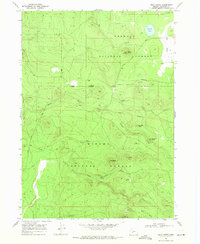
Editions of this 1968 Bear Butte Map
2 editions found
Other maps of this area

1889 · Klamath
USGS Topo · 1:250,000

1894 · Klamath
USGS Topo · 1:250,000

1935 · Chemult
USGS Topo · 1:96,000

1941 · Chemult
USGS Topo · 1:125,000

1955 · Crescent
USGS Topo · 1:250,000

1955 · Klamath Falls
USGS Topo · 1:250,000

1957 · Crescent
USGS Topo · 1:250,000

1957 · Klamath Marsh
USGS Topo · 1:62,500

1958 · Crescent
USGS Topo · 1:250,000

1958 · Klamath Falls
USGS Topo · 1:250,000