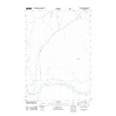
2011 Map of Antelope Peak
USGS Topo · Published 2011About this map
The Red Rock River meanders through this landscape at the foot of Antelope Peak, defining the drainage patterns of southern Beaverhead County. This high-country environment is characterized by a network of seasonal and perennial streams, including Middle Creek, Long Creek, and Mohican Creek, which flow southward toward the river. The presence of Duffner Ranch near the center of the sheet reflects the region's enduring agricultural and ranching heritage. Transportation through this remote terrain is facilitated by unpaved routes like the Centennial Divide Rd and Ruby Divide Rd, which follow the natural contours between Lone Butte and the surrounding summits. The map provides a clear record of land use and water rights in this corner of Montana, where the interplay of named creeks like Piute Creek and Brundage Creek remains central to the local geography.
Find a feature on this map
16 named features on this map. Tap any name to fly to it.
Don’t see what you’re looking for? This feature index may not catch every label — zoom into the map to look around manually.
Map Details
Editions of this 2011 Antelope Peak Map
This is the sole edition of this map. No revisions or reprints were ever made.
Other maps of this area

1950 · Lower Red Rock Lake
USGS Topo · 1:62,500

1950 · Monument Ridge
USGS Topo · 1:62,500

1955 · Dubois
USGS Topo · 1:250,000

1955 · Ashton
USGS Topo · 1:250,000

1958 · Dubois
USGS Topo · 1:250,000

1958 · Ashton
USGS Topo · 1:250,000

1960 · Ashton
USGS Topo · 1:250,000

1968 · Stonehouse Mountain
USGS Topo · 1:24,000

1968 · Corral Creek
USGS Topo · 1:24,000

1968 · Big Table Mountain
USGS Topo · 1:24,000